
Related Images


Download:
| Tiny | 207x128 | View | Download |
| Small | 414x256 | View | Download |
| Medium | 829x512 | View | Download |
| Original | 846x522 | View | Download |
This image was acquired from
wikimedia. It was marked as Public Domain or CC0 and is free to use. To verify, go to the source and check the information there.
Looking for more info about this image?
Try a Google Reverse Image Search for it.
Try a Google Reverse Image Search for it.
Keywords from Image Description:
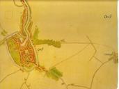
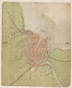
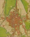
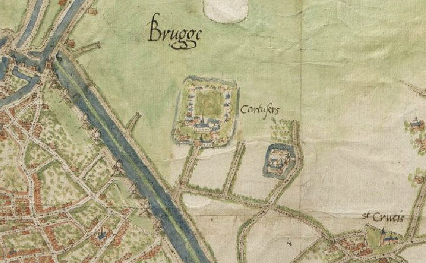
Map of Bruges by Jacob van Deventer detail. en Detail of Jacob van Deventer's map of sixteenthcentury Bruges zoomed in on the Carthusian cloister the Genadedal ValdeGrce outside the city walls org Creator Jacob van Deventer other versions PDold Uploaded with maps Maps of Bruges by Jacob van Deventer