Related Images


Download:
| Tiny | 263x128 | View | Download |
| Small | 527x256 | View | Download |
| Medium | 1054x512 | View | Download |
| Large | 2108x1024 | View | Download |
| Original | 10000x4856 | View | Download |
This image was acquired from
wikimedia. It was marked as Public Domain or CC0 and is free to use. To verify, go to the source and check the information there.
Looking for more info about this image?
Try a Google Reverse Image Search for it.
Try a Google Reverse Image Search for it.
Keywords from Image Description:
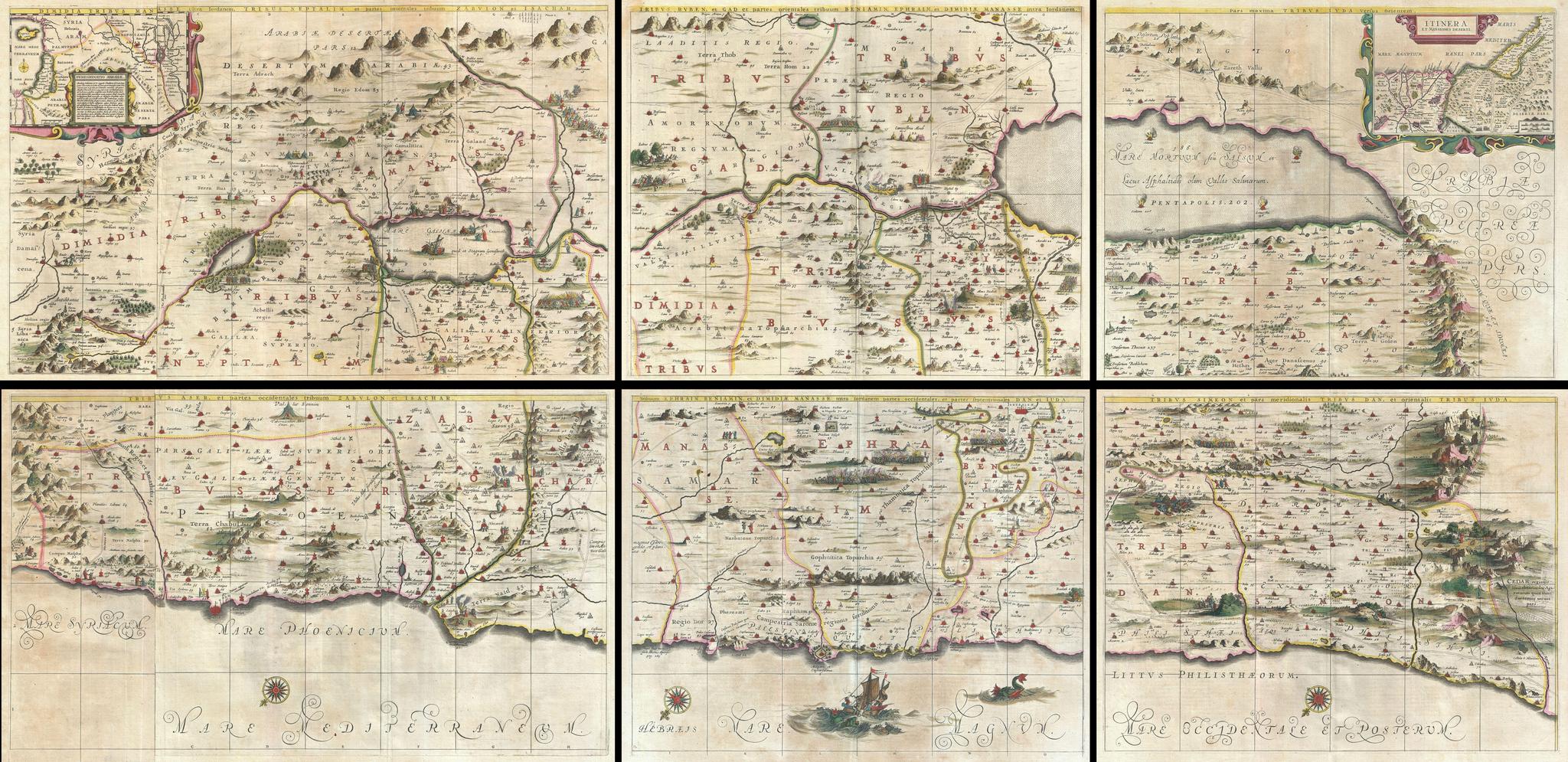
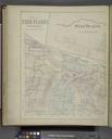
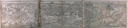
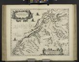
Jansson and Hornius Map of the Holy Land Israel and Palestine Geographicus HolyLandjansson. An extraordinarily rare map this is the Johannes Jansson and Georgius Hornius six part map of the Holy Land Divided into six panels and oriented to the east this map covers Israel or the Holy Land from the southern tip of the Dead Sea