Related Images


Download:
| Tiny | 154x128 | View | Download |
| Small | 308x256 | View | Download |
| Medium | 616x512 | View | Download |
| Original | 723x600 | View | Download |
This image was acquired from
wikimedia. It was marked as Public Domain or CC0 and is free to use. To verify, go to the source and check the information there.
Looking for more info about this image?
Try a Google Reverse Image Search for it.
Try a Google Reverse Image Search for it.
Keywords from Image Description:
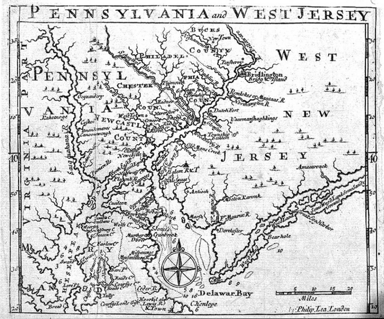
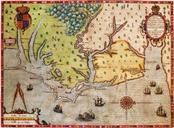
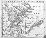
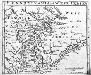
PhilipLeaPANJmap. en Map of Pennsylvania and West New Jersey published in by Philip Lea in London en Sreejithk CommonsHelper br Original text From Princeton Library website princeton edu htm with the note Folding plate in An Historical and Geographical Account of the Province and Country of Pennsylvania and of WestNewJersey in