Related Images

Download:
| Tiny | 182x128 | View | Download |
| Small | 365x256 | View | Download |
| Medium | 731x512 | View | Download |
| Large | 1462x1024 | View | Download |
| Original | 3774x2643 | View | Download |
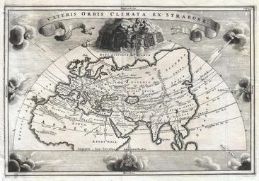
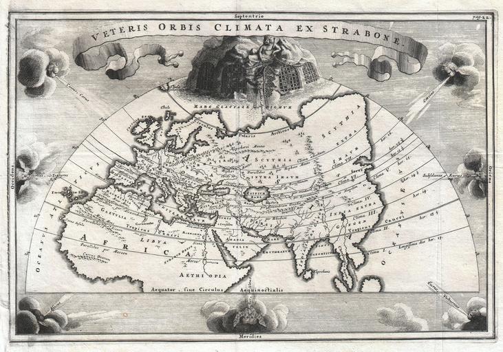
This image was acquired from
wikimedia. It was marked as Public Domain or CC0 and is free to use. To verify, go to the source and check the information there.
Looking for more info about this image?
Try a Google Reverse Image Search for it.
Try a Google Reverse Image Search for it.
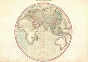
Keywords from Image Description:
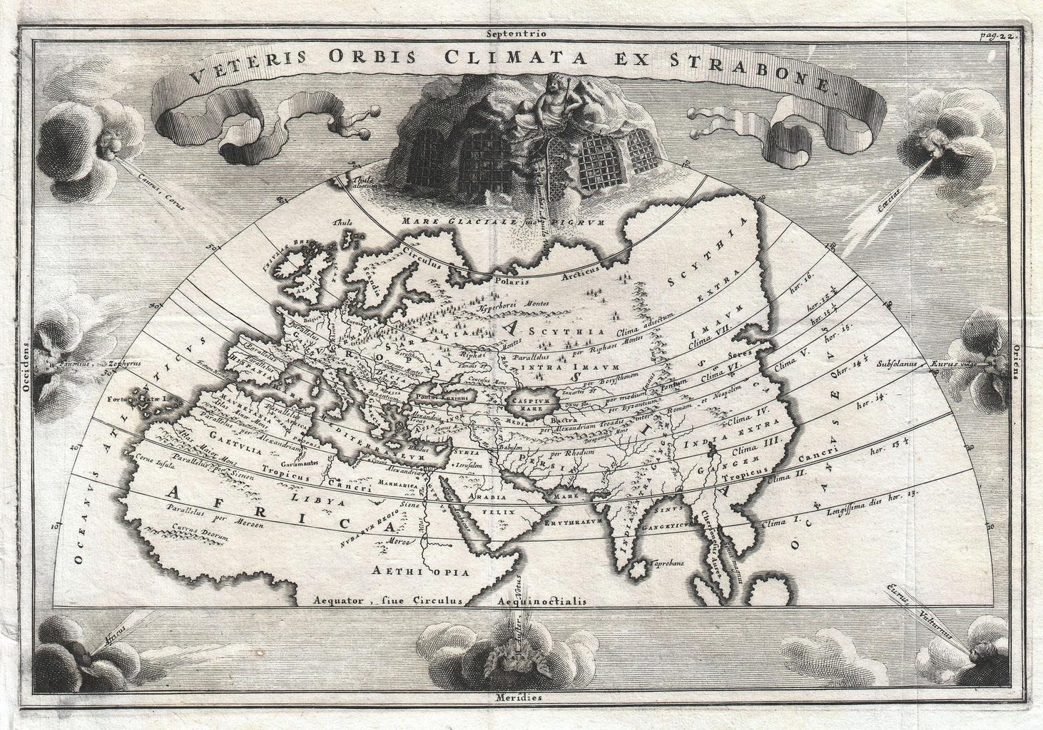
Cellarius Map of Asia Europe and Africa according to Strabo Geographicus OrbisClimatacellarius. rare and beautifully engraved map of the old world divided into seven climatic zones according to the Ancient Greek geographer Strabo Depicts Europe Asia and northern Africa Surrounded by seven wind heads At the northern polar caps