Related Images

Download:
| Tiny | 160x128 | View | Download |
| Small | 321x256 | View | Download |
| Medium | 643x512 | View | Download |
| Large | 1286x1024 | View | Download |
| Original | 6000x4777 | View | Download |
This image was acquired from
wikimedia. It was marked as Public Domain or CC0 and is free to use. To verify, go to the source and check the information there.
Looking for more info about this image?
Try a Google Reverse Image Search for it.
Try a Google Reverse Image Search for it.
Keywords from Image Description:
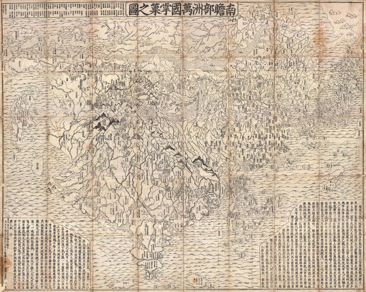
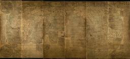
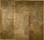
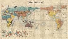
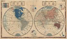
First Japanese Buddhist Map of the World Showing Europe America and Africa Geographicus Nansenbushurokashihotan. seminal map of extreme significance This is the first Japanese printed map to depict the world including Europe and America from Buddhist cosmographical perspective Printed by woodblock in Hoei this map was composed