Related Images
Download:
| Tiny | 158x128 | View | Download |
| Small | 317x256 | View | Download |
| Medium | 634x512 | View | Download |
| Large | 1269x1024 | View | Download |
| Original | 1276x1029 | View | Download |
This image was acquired from
wikimedia. It was marked as Public Domain or CC0 and is free to use. To verify, go to the source and check the information there.
Looking for more info about this image?
Try a Google Reverse Image Search for it.
Try a Google Reverse Image Search for it.
Keywords from Image Description:
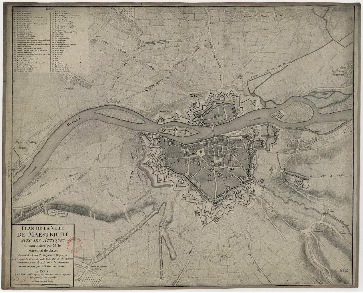
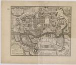
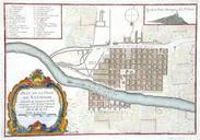
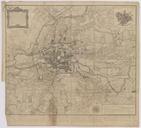
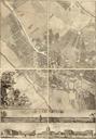
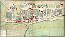
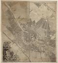
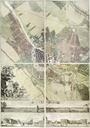
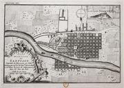
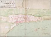
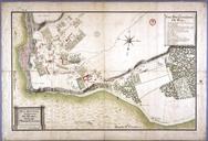
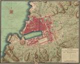
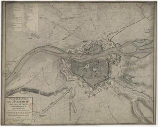
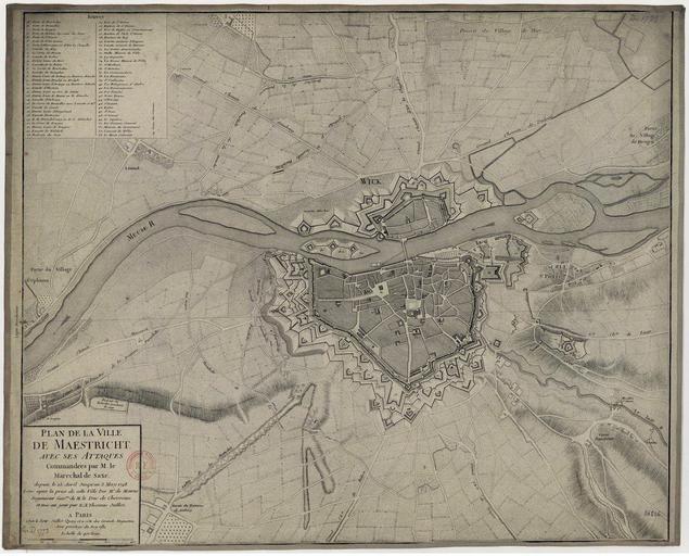
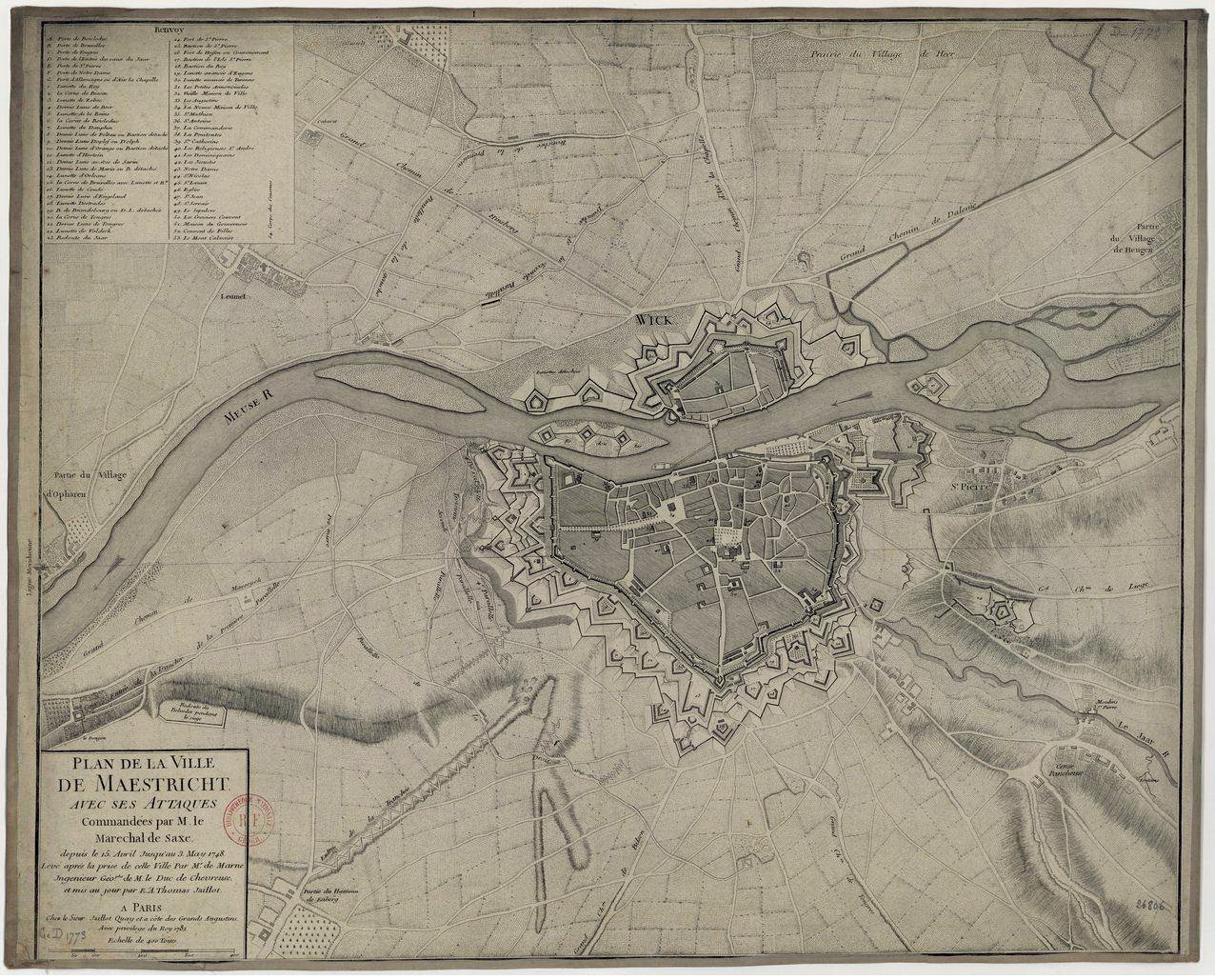
Plan de la ville de Maestricht. en Old map of Maastricht the Netherlands showing the attaques of the army of Louis XV of France on the city in during the War of the Austrian Succession Map in the collection of the Bibliothque nationale de France in Paris bnf fr website Bibliothque nationale de France unknown cartographers