
Related Images


Download:
| Tiny | 187x128 | View | Download |
| Small | 375x256 | View | Download |
| Medium | 750x512 | View | Download |
| Large | 1500x1024 | View | Download |
| Original | 5466x3731 | View | Download |
This image was acquired from
wikimedia. It was marked as Public Domain or CC0 and is free to use. To verify, go to the source and check the information there.
Looking for more info about this image?
Try a Google Reverse Image Search for it.
Try a Google Reverse Image Search for it.
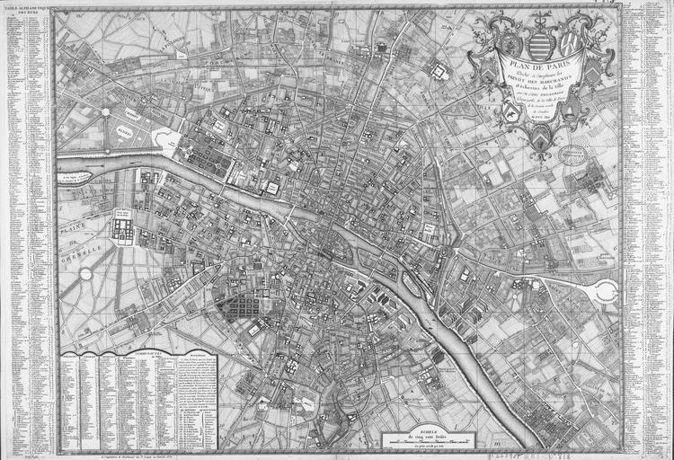
Keywords from Image Description:
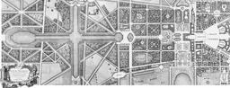
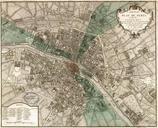
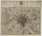
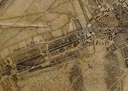
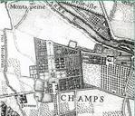
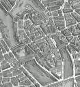
Plan de Delagrive. en Map of Paris numericable fr html Plans anciens de Paris Delagrive PDold Uploaded with Maps of Paris in the th century Paris in the thcentury maps of Paris