Related Images


Download:
| Tiny | 155x128 | View | Download |
| Small | 310x256 | View | Download |
| Medium | 621x512 | View | Download |
| Large | 1243x1024 | View | Download |
| Original | 4000x3295 | View | Download |
This image was acquired from
wikimedia. It was marked as Public Domain or CC0 and is free to use. To verify, go to the source and check the information there.
Looking for more info about this image?
Try a Google Reverse Image Search for it.
Try a Google Reverse Image Search for it.
Keywords from Image Description:
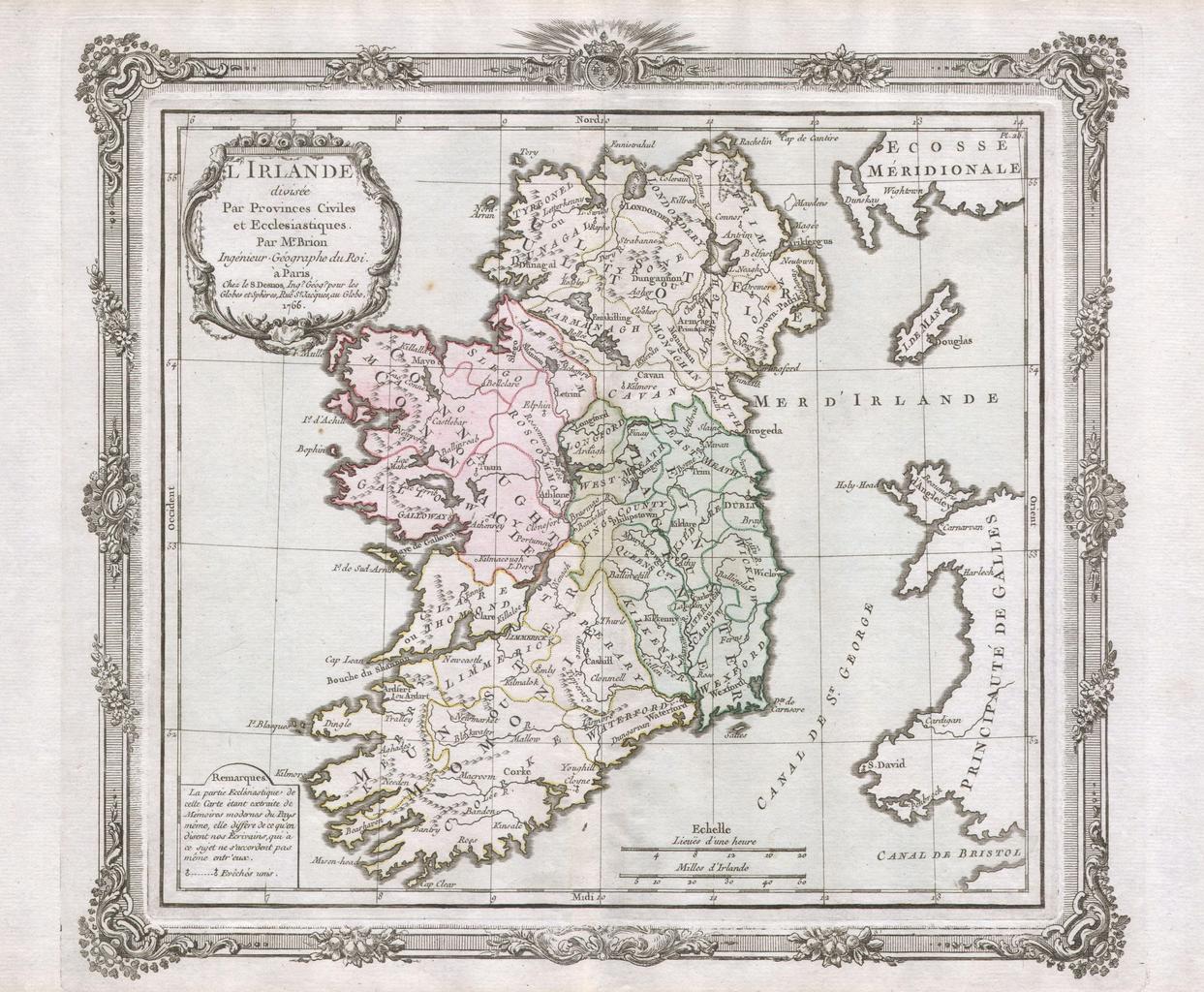
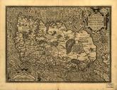
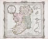
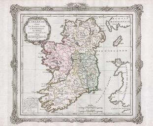
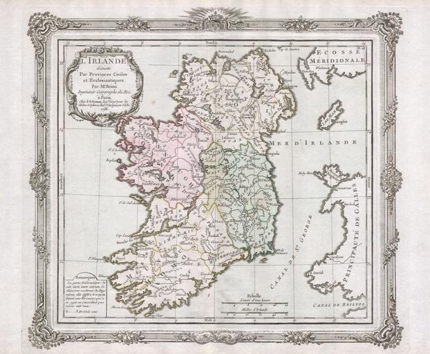
Desnos de la Tour Map of Ireland Geographicus Irlandedelatour. This is rare and elegantly produced map of Ireland by the French cartographer Louis Brion de la Tour and his associate Louis Charles Desnos Depicts the island of Ireland divided into four sections Decorative title cartouche in the upper left quadrant What makes this