
Related Images


Download:
| Tiny | 93x128 | View | Download |
| Small | 187x256 | View | Download |
| Medium | 375x512 | View | Download |
| Large | 750x1024 | View | Download |
| Original | 2933x4000 | View | Download |
This image was acquired from
wikimedia. It was marked as Public Domain or CC0 and is free to use. To verify, go to the source and check the information there.
Looking for more info about this image?
Try a Google Reverse Image Search for it.
Try a Google Reverse Image Search for it.
Keywords from Image Description:
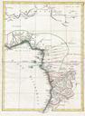
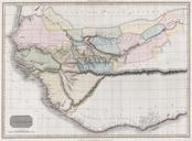
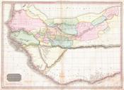
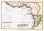
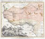
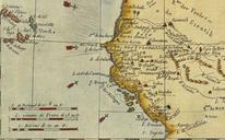
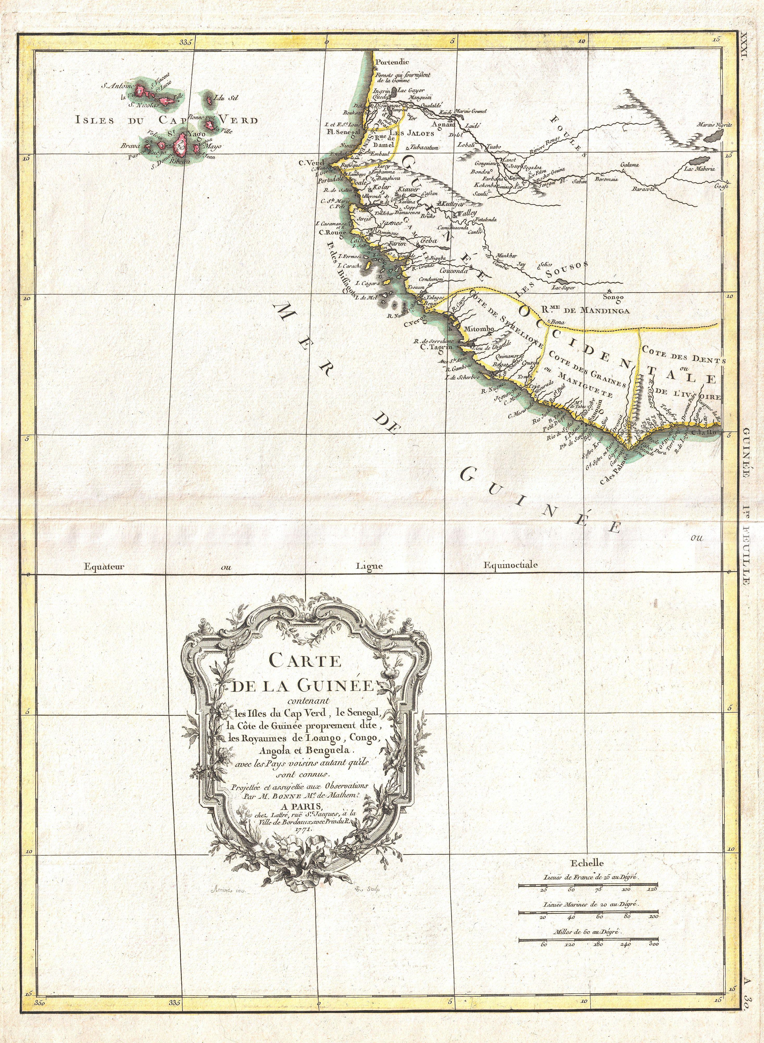
Bonne Map of the Guinea Coast of West Africa and the Cape Verde Islands Geographicus Guineabonne. beautiful example of Rigobert Bonne's decorative map of western Africa Covers from the Cape Verde Islands eastward to the coasts of Africa and the western mouth of the Niger River Includes the modern day nations of Mauritania Senegal