
Related Images


Download:
| Tiny | 246x128 | View | Download |
| Small | 493x256 | View | Download |
| Medium | 987x512 | View | Download |
| Original | 1699x881 | View | Download |
This image was acquired from
wikimedia. It was marked as Public Domain or CC0 and is free to use. To verify, go to the source and check the information there.
Looking for more info about this image?
Try a Google Reverse Image Search for it.
Try a Google Reverse Image Search for it.
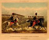
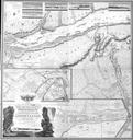
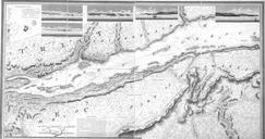
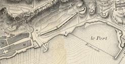
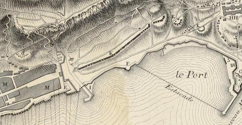
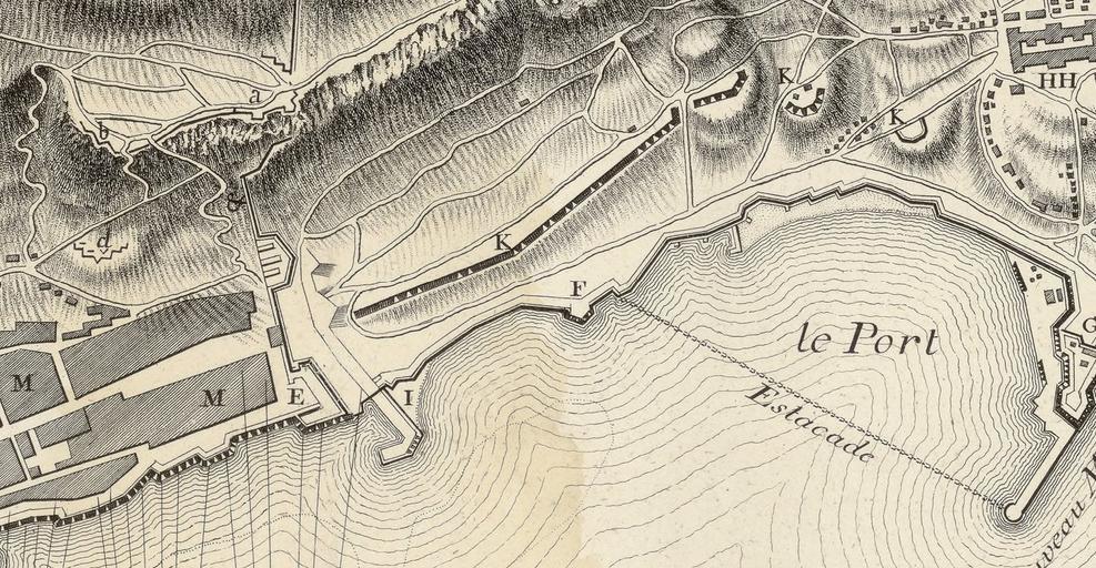
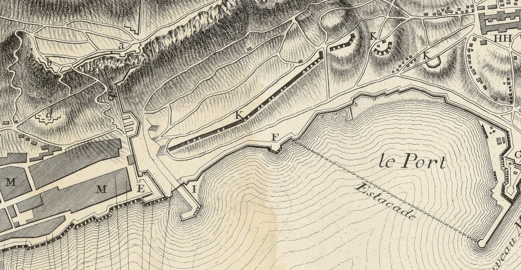
Keywords from Image Description:
Prince of Wales's Lines map. Map showing the Prince of Wales's Lines Extracted from Sige de Gibraltar Plan des dispositions gnrales et des manoeuvres projetes compares l'excution du bre Bibliothque nationale de France dpartement Cartes et plans GE Weis Strasbourg PDold Old maps of Gibraltar GibraltarpediA Gibraltar Harbour