Related Images

Download:
| Tiny | 175x128 | View | Download |
| Small | 350x256 | View | Download |
| Medium | 700x512 | View | Download |
| Large | 1401x1024 | View | Download |
| Original | 4000x2923 | View | Download |
This image was acquired from
wikimedia. It was marked as Public Domain or CC0 and is free to use. To verify, go to the source and check the information there.
Looking for more info about this image?
Try a Google Reverse Image Search for it.
Try a Google Reverse Image Search for it.
Keywords from Image Description:
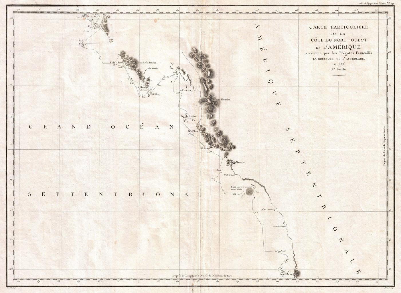
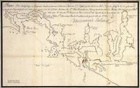
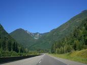
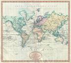
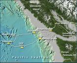
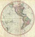
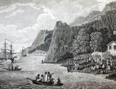
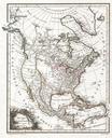
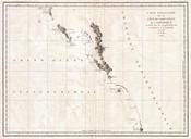
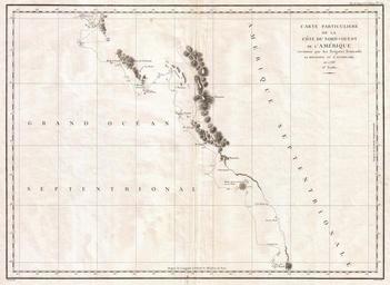
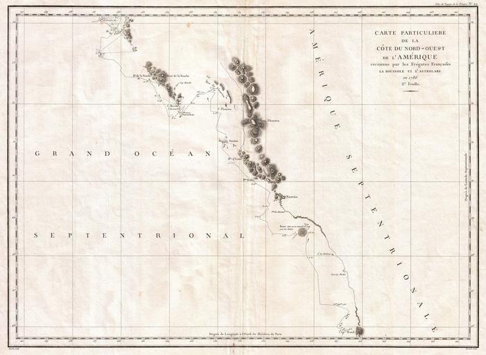
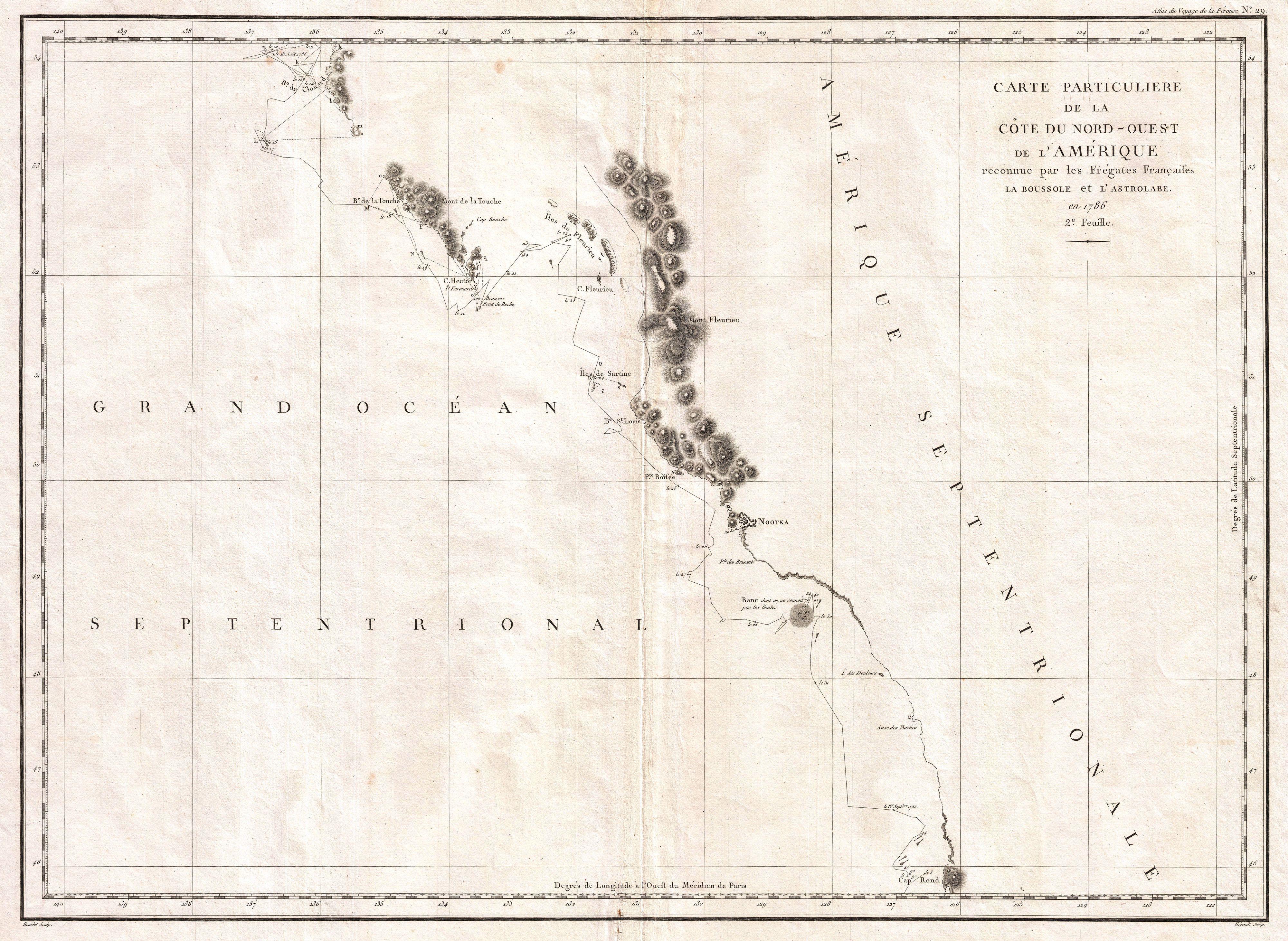
La Perouse Map of Vancouver and British Columbia Canada Geographicus Vancouverperouse. This is fine example of La Perouse important mapping of Vancouver Island and the coastlines of Washington and British Columbia When drawn in La Perouse map was the only available map of this region not based on the survey work of Captain Cook