Related Images


Download:
| Tiny | 238x128 | View | Download |
| Small | 476x256 | View | Download |
| Medium | 952x512 | View | Download |
| Large | 1904x1024 | View | Download |
| Original | 6503x3497 | View | Download |
This image was acquired from
wikimedia. It was marked as Public Domain or CC0 and is free to use. To verify, go to the source and check the information there.
Looking for more info about this image?
Try a Google Reverse Image Search for it.
Try a Google Reverse Image Search for it.
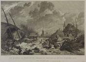
Keywords from Image Description:
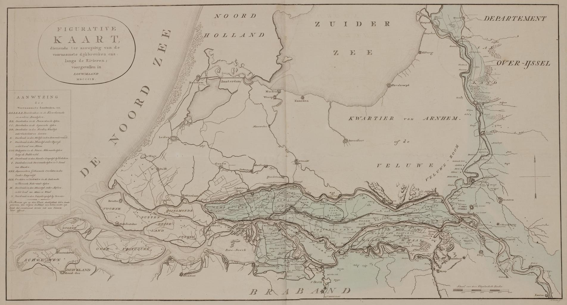
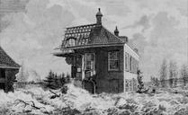
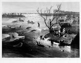
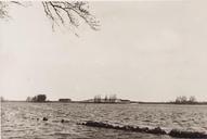
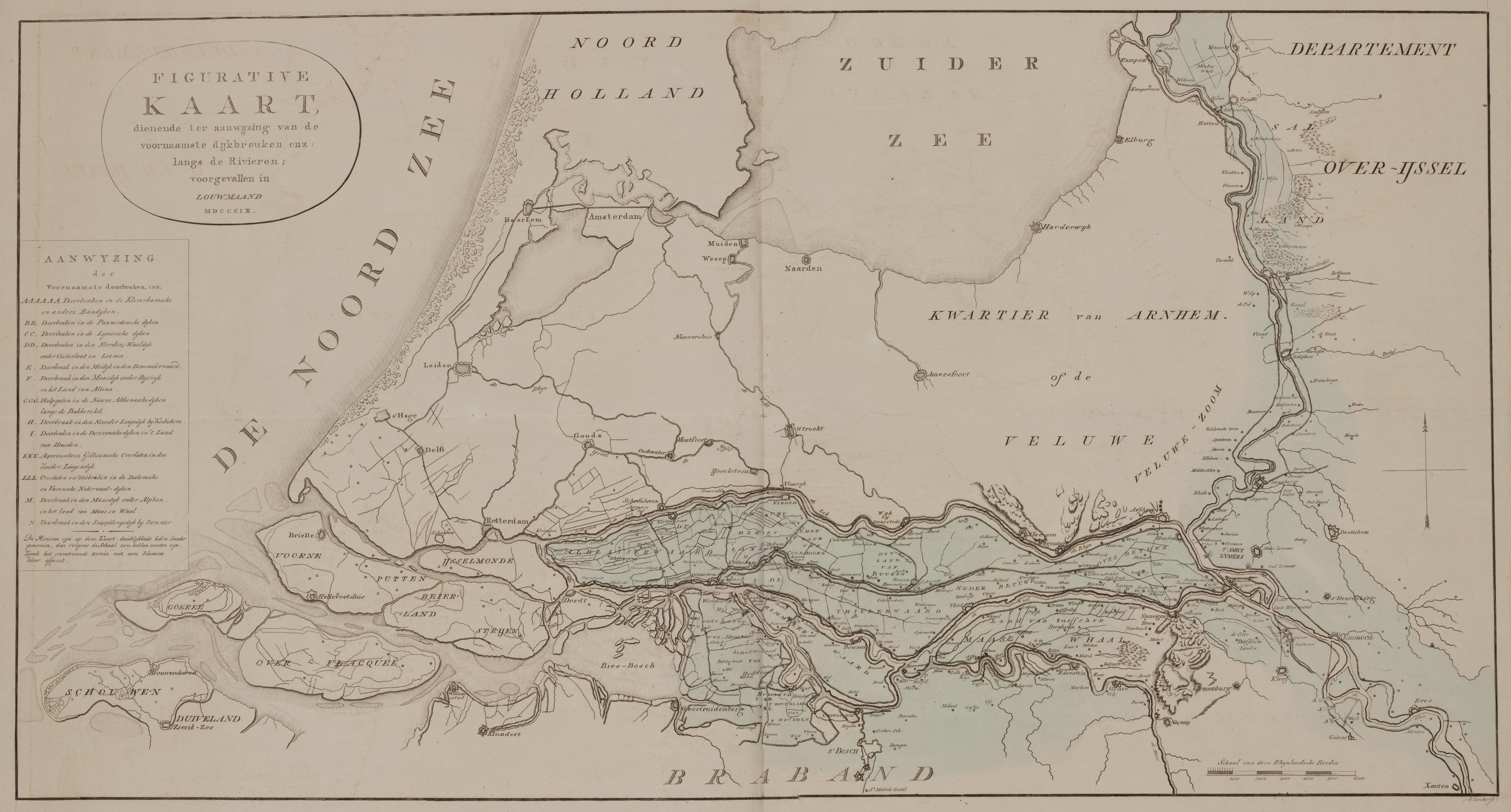
watersnood. Original caption Figurative kaart dienende ter aanwijzing van de voornaamste dijkbreuken enz langs de rivieren voorgevallen in Louwmaand MDCCIX Figurative map indicating the most important breaches in the dikes etc along the rivers as it happened in January en Flooded area in blue The rivers are drwaed bigger than