
Related Images


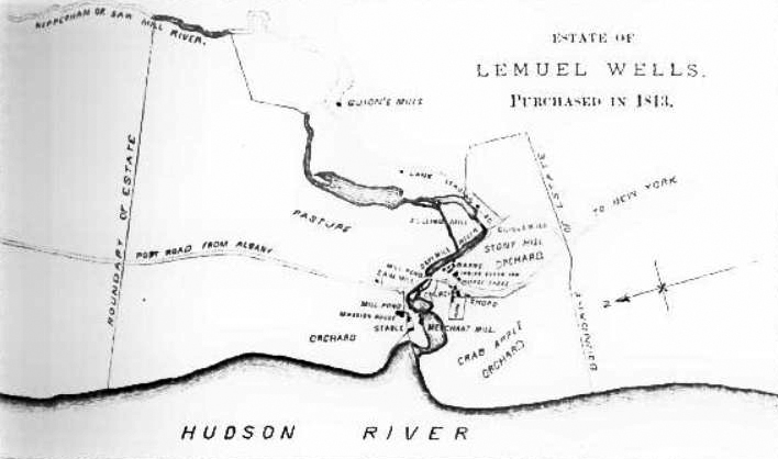
This image was acquired from
wikimedia. It was marked as Public Domain or CC0 and is free to use. To verify, go to the source and check the information there.
Looking for more info about this image?
Try a Google Reverse Image Search for it.
Try a Google Reverse Image Search for it.
Keywords from Image Description:
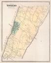
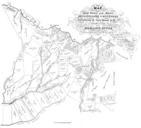
Yonkers NY map. Yonkers NY USA at time land was purchased by Lemuel Wells in showing confluence of Hudson and Saw Mill rivers prior to extensive human modification later in the century and minimal existing development google id LIAQAAMAAJ pg RAPA onepage false History of Westchester County New York Vol ed John Scharf Unknown