
Related Images


Download:
| Tiny | 198x128 | View | Download |
| Small | 396x256 | View | Download |
| Medium | 793x512 | View | Download |
| Large | 1587x1024 | View | Download |
| Original | 4020x2593 | View | Download |
This image was acquired from
wikimedia. It was marked as Public Domain or CC0 and is free to use. To verify, go to the source and check the information there.
Looking for more info about this image?
Try a Google Reverse Image Search for it.
Try a Google Reverse Image Search for it.
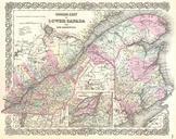
Keywords from Image Description:
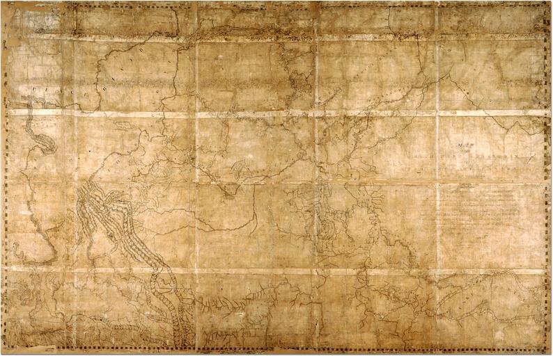
ThompsonMap. Map of the NorthWest Territory of the Province of Canada by David Thompson RC AO Archives of Ontario Image URL archives gov on ca htm Map is in the public domain See minisisinc dll BF SESSIONSEARCH Full Title Map of the NorthWest Territory of the Province of Canada from actual Survey during the years This map