
Related Images


Download:
| Tiny | 149x128 | View | Download |
| Small | 299x256 | View | Download |
| Medium | 599x512 | View | Download |
| Large | 1199x1024 | View | Download |
| Original | 1689x1442 | View | Download |
This image was acquired from
wikimedia. It was marked as Public Domain or CC0 and is free to use. To verify, go to the source and check the information there.
Looking for more info about this image?
Try a Google Reverse Image Search for it.
Try a Google Reverse Image Search for it.
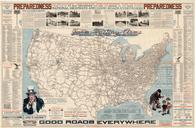
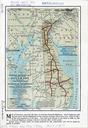
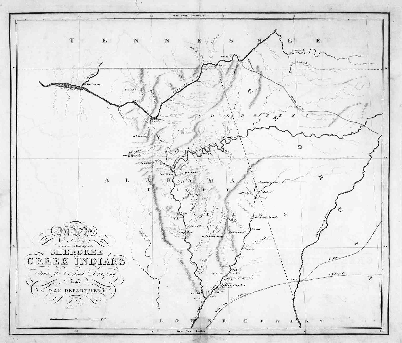
Keywords from Image Description:
m. en United States Government map of Federal Road through Cherokee lands Shows Alabama Georgia and Tennessee libs uga edu United States Government War Department PDUSGov Maps of Native American tribal territories Cherokee Old maps of Alabama Old maps of Georgia state Old maps of Tennessee