Related Images

Download:
| Tiny | 164x128 | View | Download |
| Small | 328x256 | View | Download |
| Medium | 656x512 | View | Download |
| Large | 1312x1024 | View | Download |
| Original | 3000x2341 | View | Download |
This image was acquired from
wikimedia. It was marked as Public Domain or CC0 and is free to use. To verify, go to the source and check the information there.
Looking for more info about this image?
Try a Google Reverse Image Search for it.
Try a Google Reverse Image Search for it.
Keywords from Image Description:
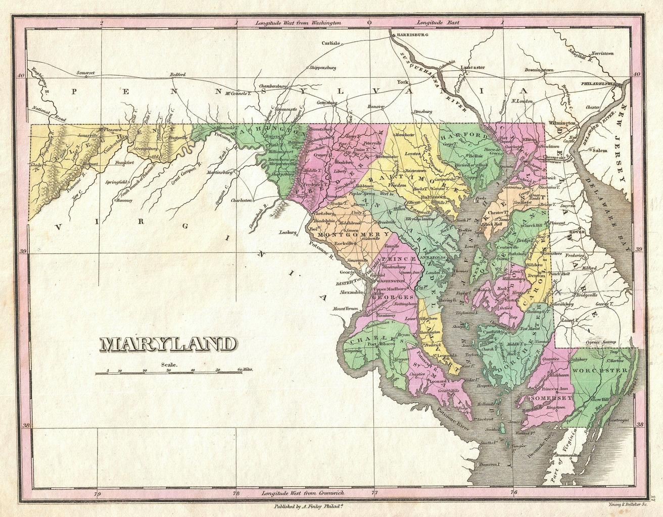
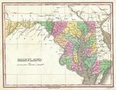
Finley Map of Maryland Geographicus Marylandfinley. beautiful example of Finley's important map of Maryland This rare map plate configuration depicts the state individually rather than bundled with Delaware or Virginia as is more common Depicts the state with moderate detail in Finley's classic minimalist style Shows river ways