Related Images


Download:
| Tiny | 150x128 | View | Download |
| Small | 301x256 | View | Download |
| Medium | 603x512 | View | Download |
| Large | 1207x1024 | View | Download |
| Original | 5000x4239 | View | Download |
This image was acquired from
wikimedia. It was marked as Public Domain or CC0 and is free to use. To verify, go to the source and check the information there.
Looking for more info about this image?
Try a Google Reverse Image Search for it.
Try a Google Reverse Image Search for it.
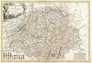
Keywords from Image Description:
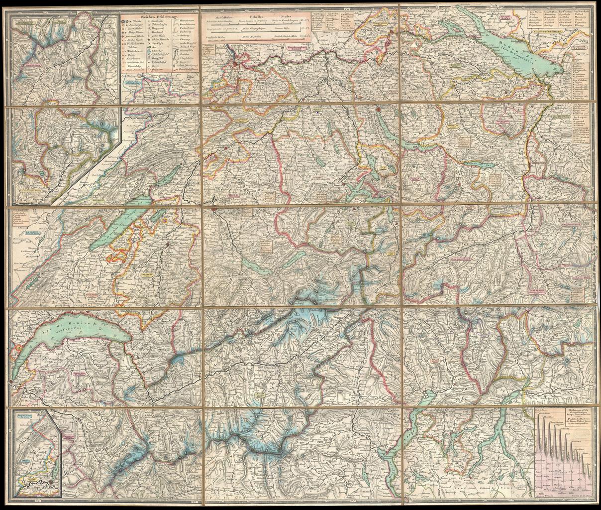
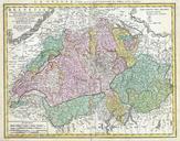
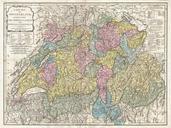
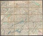
Keller Pocket Map of Switzerland Geographicus Switzerlandkeller. This is an extremely detailed and attractive folding pocket map of Switzerland drawn by the Zurich cartographer and lithographer Heinrich Keller Covers the mountainous country from Lake Geneva to Lake Constance Details numerous river ways likes cities roadways forts