Related Images


Download:
| Tiny | 99x128 | View | Download |
| Small | 198x256 | View | Download |
| Medium | 396x512 | View | Download |
| Large | 793x1024 | View | Download |
| Original | 2500x3228 | View | Download |
This image was acquired from
wikimedia. It was marked as Public Domain or CC0 and is free to use. To verify, go to the source and check the information there.
Looking for more info about this image?
Try a Google Reverse Image Search for it.
Try a Google Reverse Image Search for it.
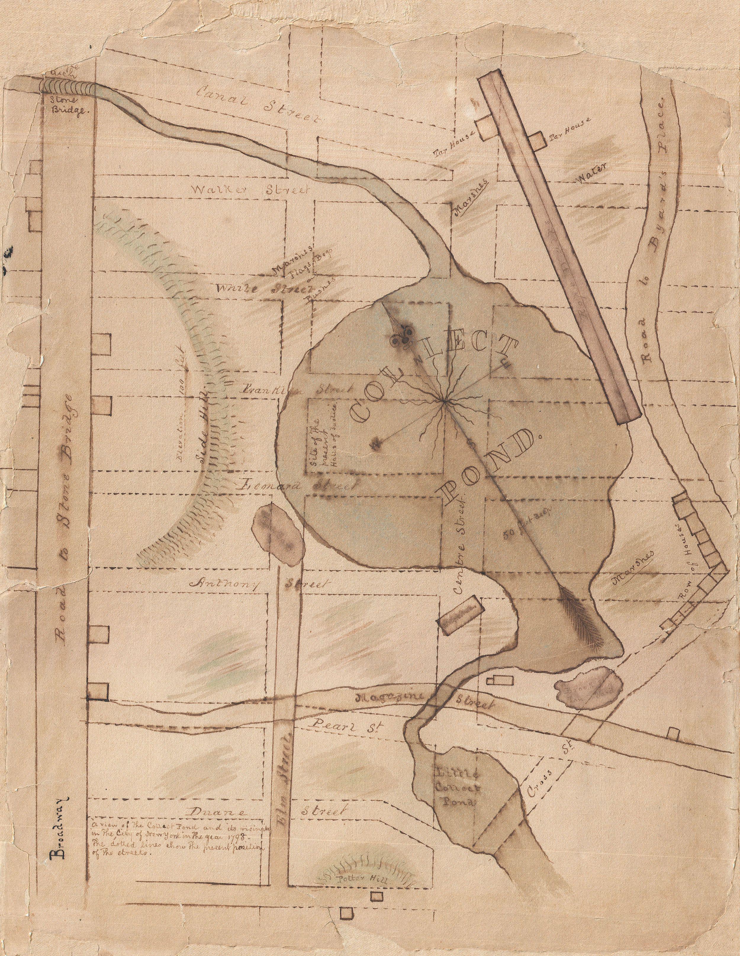
Keywords from Image Description:
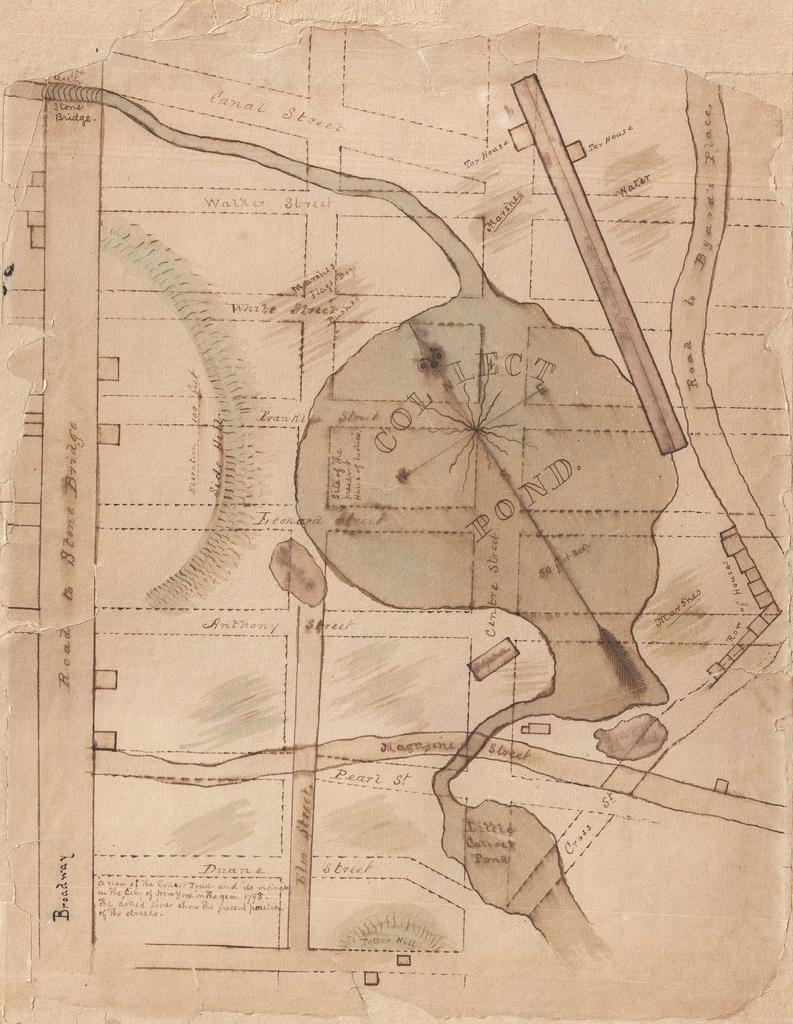
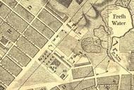
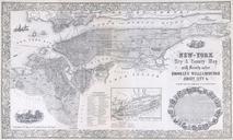
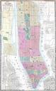
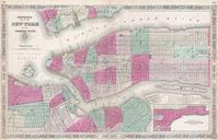
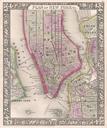
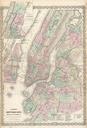
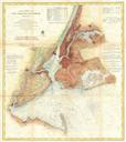
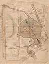
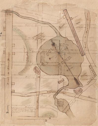
Manuscript Map of the Collect Pond and Five Points New York City Geographicus CollectPondfivepoints. This is one of kind early th century manuscript map of the New York City's Collect Pond or Five Points region Cover's parts of southern Manhattan between Broadway and Cross Street including Leonard Street Anthony Street Elm Street