
Related Images

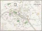


Download:
| Tiny | 93x128 | View | Download |
| Small | 186x256 | View | Download |
| Medium | 372x512 | View | Download |
| Large | 745x1024 | View | Download |
| Original | 3500x4808 | View | Download |
This image was acquired from
wikimedia. It was marked as Public Domain or CC0 and is free to use. To verify, go to the source and check the information there.
Looking for more info about this image?
Try a Google Reverse Image Search for it.
Try a Google Reverse Image Search for it.
Keywords from Image Description:
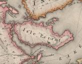
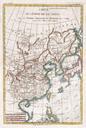
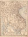
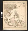
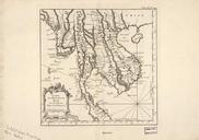
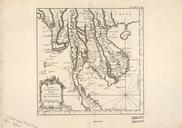
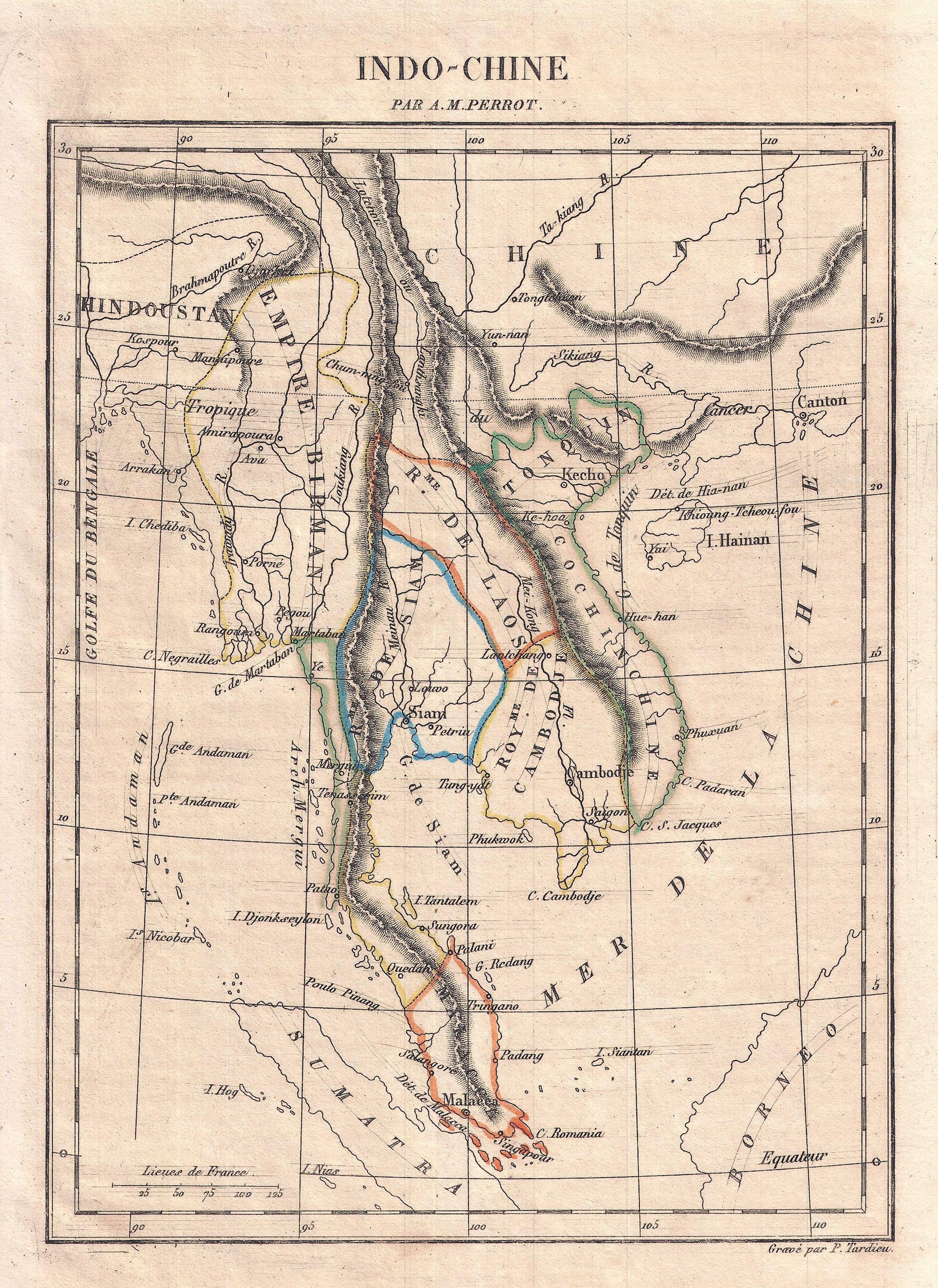
Perrot Map of IndoChine Geographicus Indochineperrot. This is map of IndoChine by drawn by French cartographer Aristide Michel Perrot and engraved by Tardieu Covers the area from China in the north to Sumatra in the south and from the Gulf of Bengal in the west to Canton in the east Curiously places the city of Singapore Singapour