
Related Images


Download:
| Tiny | 174x128 | View | Download |
| Small | 348x256 | View | Download |
| Medium | 696x512 | View | Download |
| Large | 1393x1024 | View | Download |
| Original | 4000x2940 | View | Download |
This image was acquired from
wikimedia. It was marked as Public Domain or CC0 and is free to use. To verify, go to the source and check the information there.
Looking for more info about this image?
Try a Google Reverse Image Search for it.
Try a Google Reverse Image Search for it.
Keywords from Image Description:
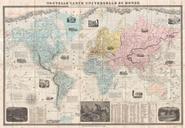
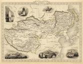
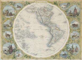
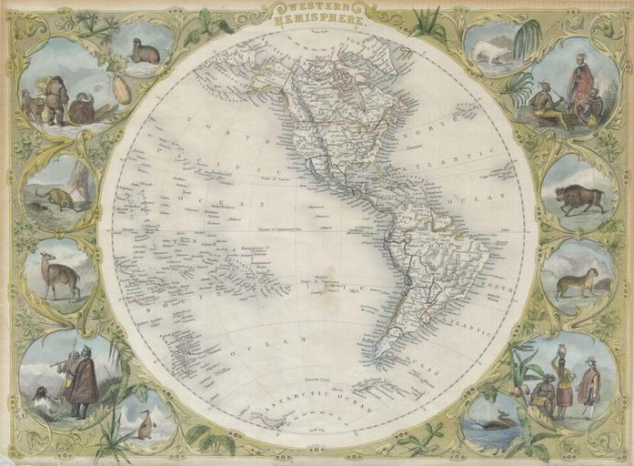
Tallis Map of the Western Hemisphere Geographicus HemiWesttallis. This is an extremely attractive full color example of John Tallis decorative map of the Western Hemisphere Covers both North and South America as well as parts of Polynesia Antarctica and Siberia Shows Texas as both part of and separate from the United States with