
Related Images


Download:
| Tiny | 95x128 | View | Download |
| Small | 190x256 | View | Download |
| Medium | 381x512 | View | Download |
| Large | 763x1024 | View | Download |
| Original | 2238x3000 | View | Download |
This image was acquired from
wikimedia. It was marked as Public Domain or CC0 and is free to use. To verify, go to the source and check the information there.
Looking for more info about this image?
Try a Google Reverse Image Search for it.
Try a Google Reverse Image Search for it.
Keywords from Image Description:
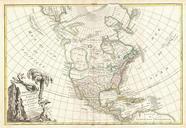
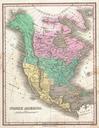
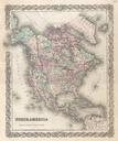
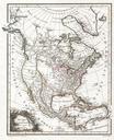
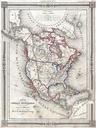
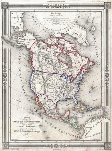
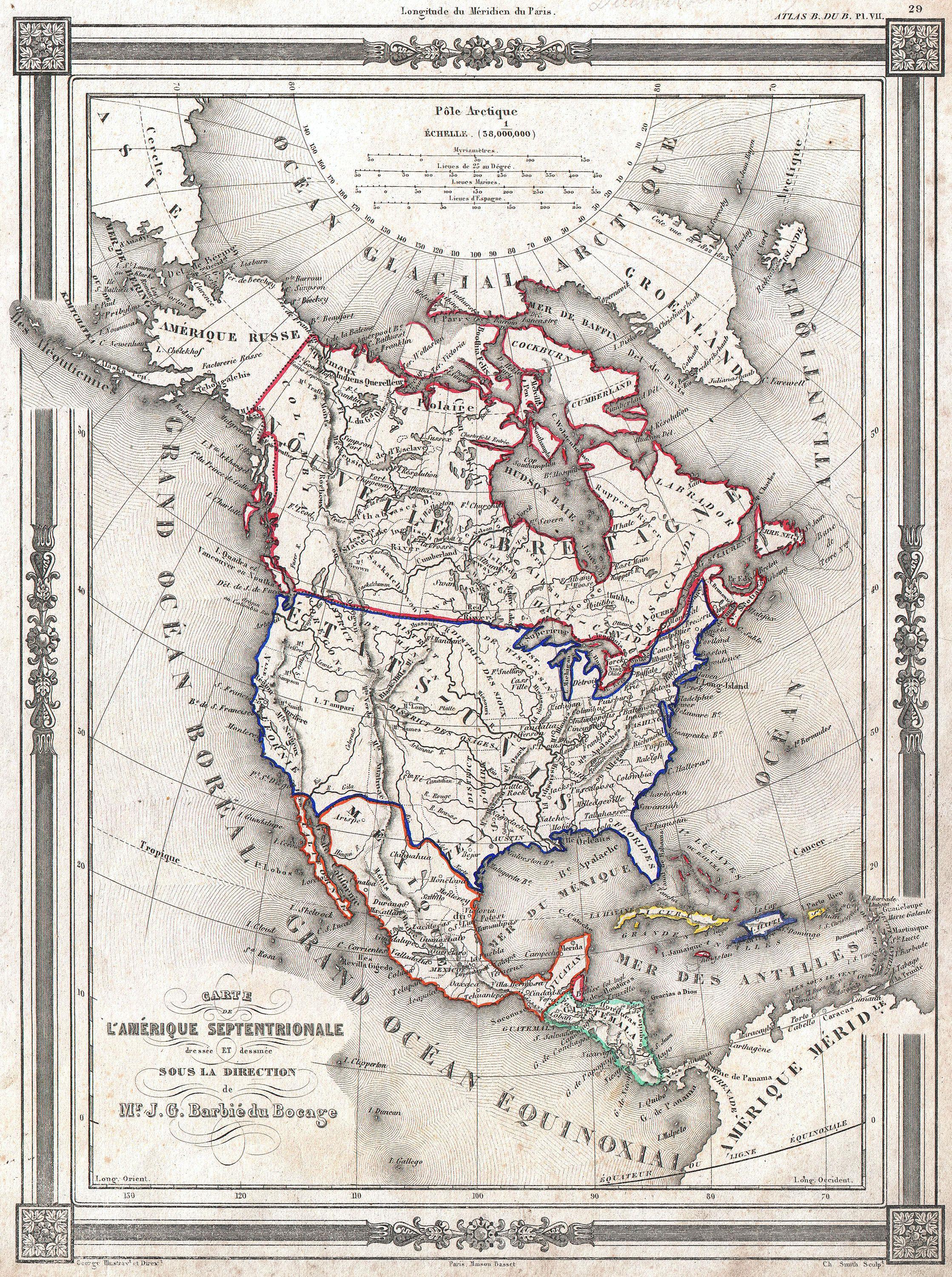
Bocage Map of North America Geographicus AmeriqueSeptbocage. An uncommon and extremely attractive map of North America by Barbie du Bocage Depicts all of North America from the Arctic Circle to the northern part of South America The United States is shown shortly after the acquisition of Texas and Upper California though preGadsden