Related Images

Download:
| Tiny | 180x128 | View | Download |
| Small | 361x256 | View | Download |
| Medium | 723x512 | View | Download |
| Large | 1446x1024 | View | Download |
| Original | 3500x2477 | View | Download |
This image was acquired from
wikimedia. It was marked as Public Domain or CC0 and is free to use. To verify, go to the source and check the information there.
Looking for more info about this image?
Try a Google Reverse Image Search for it.
Try a Google Reverse Image Search for it.
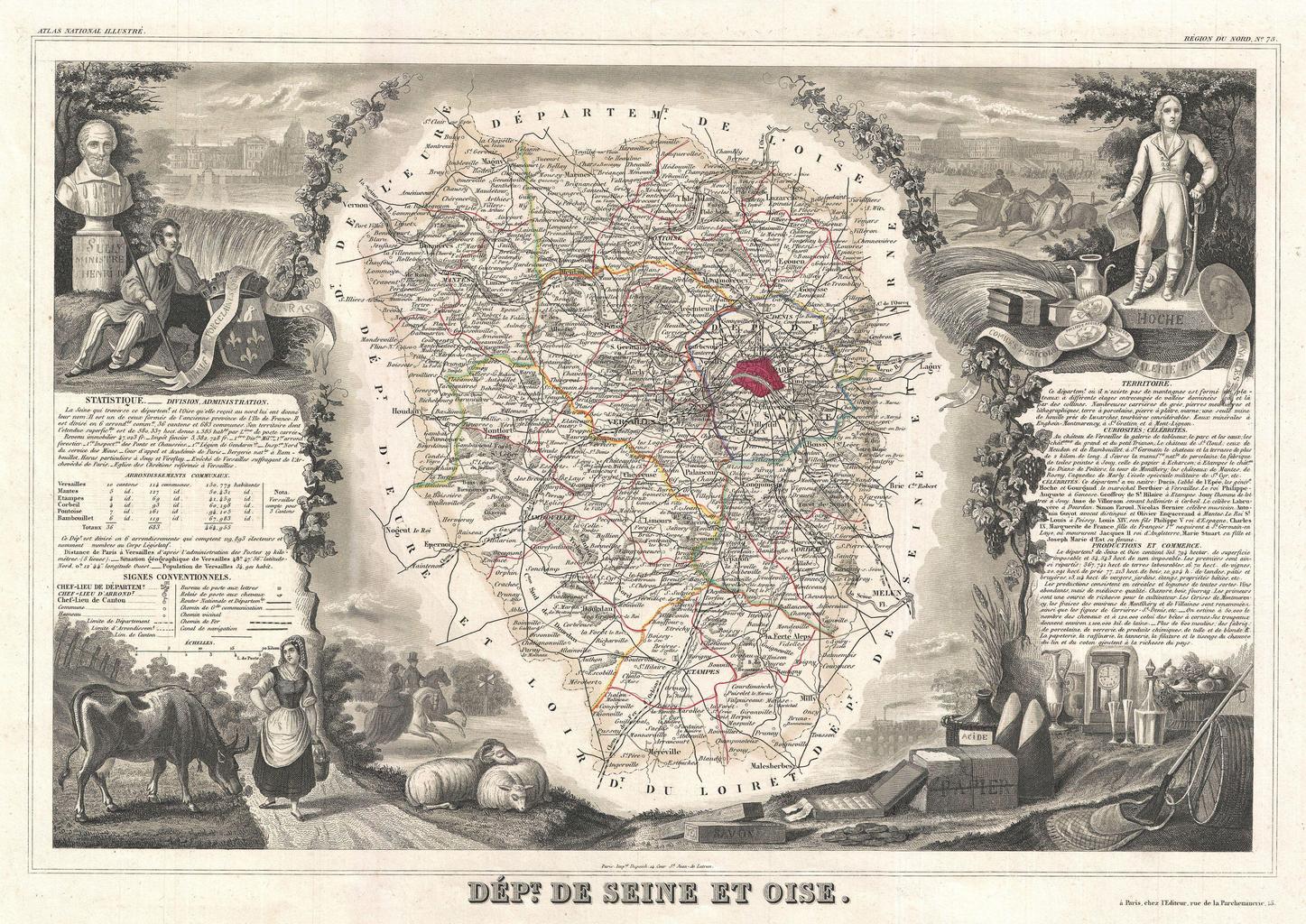
Keywords from Image Description:
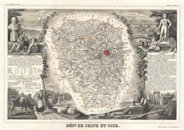
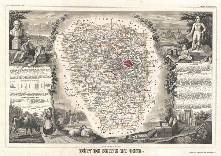
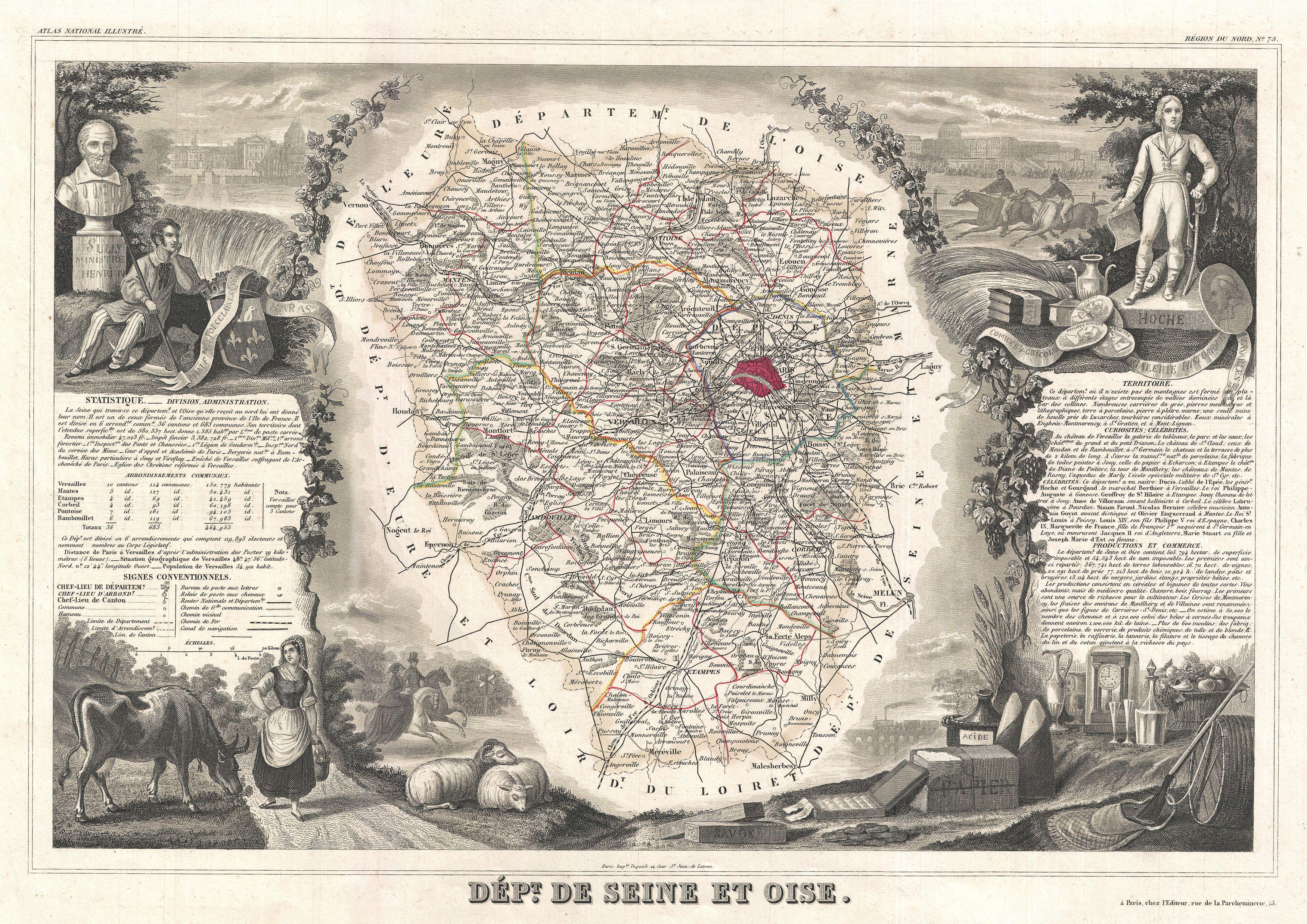
Levasseur Map of SeineetOise Paris Geographicus SeineEtOiselevasseur. This is fascinating map of the French department of SeineetOise Centered on Versailles its administrative center SeineetOise extends from Espernon to Melun and from Pontoise to Etampes Paris figures prominently in the right hand section of the map Also shows