
Related Images


This image was acquired from
wikimedia. It was marked as Public Domain or CC0 and is free to use. To verify, go to the source and check the information there.
Looking for more info about this image?
Try a Google Reverse Image Search for it.
Try a Google Reverse Image Search for it.
Keywords from Image Description:
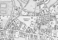
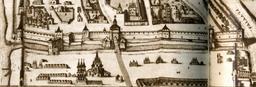
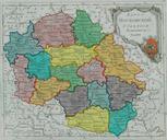
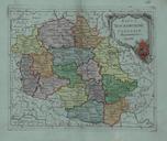
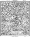
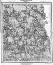
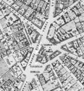
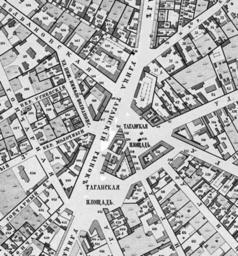
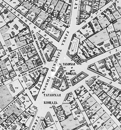
map of Taganskaya Square in Moscow. Taganskaya Square Moscow map At that time there were two separate squares that were merged in Khotev's Atlas State topographers edited by colonel Khotev PD PDold Khotev Atlas of Moscow Tagansky