
Related Images


Download:
| Tiny | 185x128 | View | Download |
| Small | 371x256 | View | Download |
| Medium | 742x512 | View | Download |
| Large | 1485x1024 | View | Download |
| Original | 3500x2412 | View | Download |
This image was acquired from
wikimedia. It was marked as Public Domain or CC0 and is free to use. To verify, go to the source and check the information there.
Looking for more info about this image?
Try a Google Reverse Image Search for it.
Try a Google Reverse Image Search for it.
Keywords from Image Description:
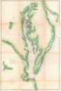
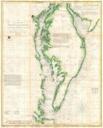
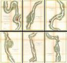
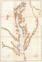
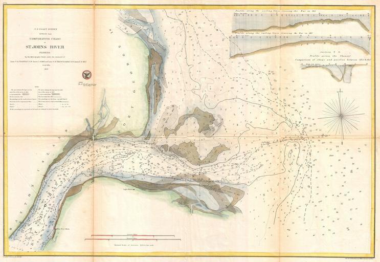
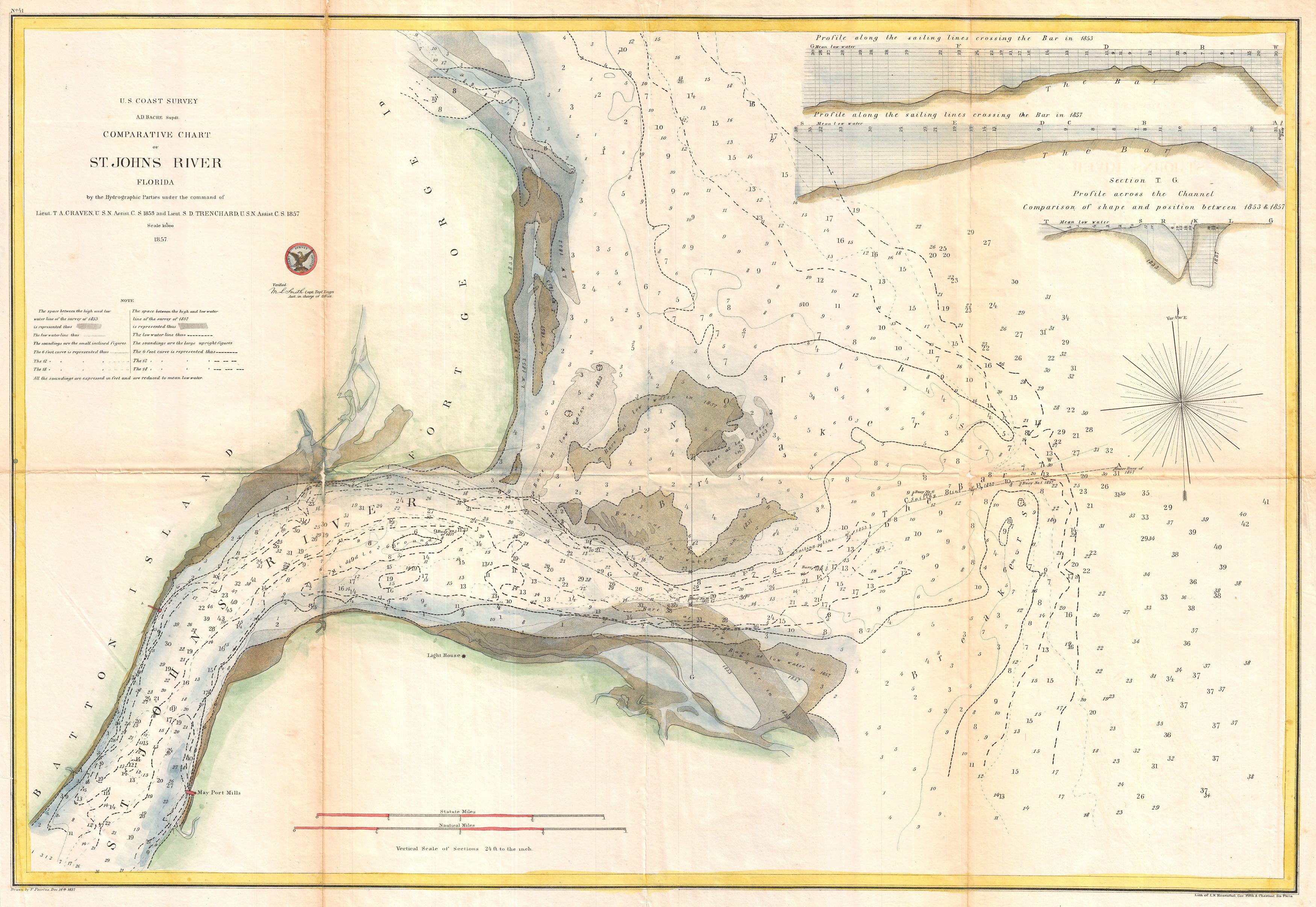
U.S. Coast Survey Map or Chart of the Mouth of St. Johns River Florida Geographicus StJohnsRiveruscs. An unusual and attractive coastal map produced by the Coast Survey to chart changes in the St Johns River FL delta between and Details number of sandbars and shoals and records their appearance and disappearance at various different