Related Images
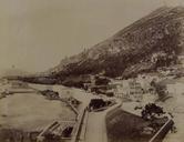


Download:
| Tiny | 351x128 | View | Download |
| Small | 703x256 | View | Download |
| Medium | 1406x512 | View | Download |
| Large | 2813x1024 | View | Download |
| Original | 5764x2098 | View | Download |
This image was acquired from
wikimedia. It was marked as Public Domain or CC0 and is free to use. To verify, go to the source and check the information there.
Looking for more info about this image?
Try a Google Reverse Image Search for it.
Try a Google Reverse Image Search for it.
Keywords from Image Description:
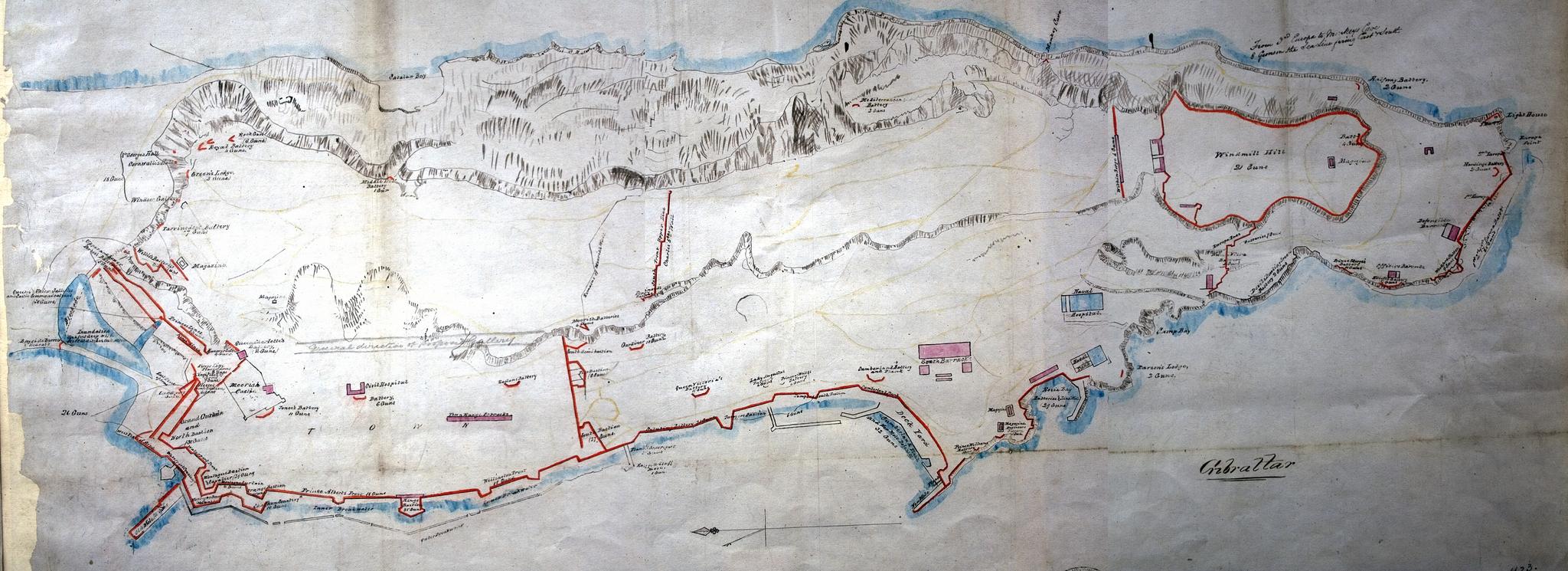
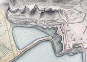
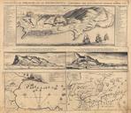
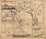
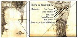
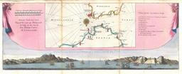
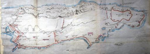
Gibraltar fortifications map. 'Gibraltar' plan showing naval and military establishments bastions batteries and other defence works magazines Scale inches to feet UK National Archives MPH author Old maps of Gibraltar Fortifications in Gibraltar PDArt