Related Images
Download:
| Tiny | 200x128 | View | Download |
| Small | 400x256 | View | Download |
| Medium | 800x512 | View | Download |
| Large | 1601x1024 | View | Download |
| Original | 5000x3198 | View | Download |
This image was acquired from
wikimedia. It was marked as Public Domain or CC0 and is free to use. To verify, go to the source and check the information there.
Looking for more info about this image?
Try a Google Reverse Image Search for it.
Try a Google Reverse Image Search for it.
Keywords from Image Description:
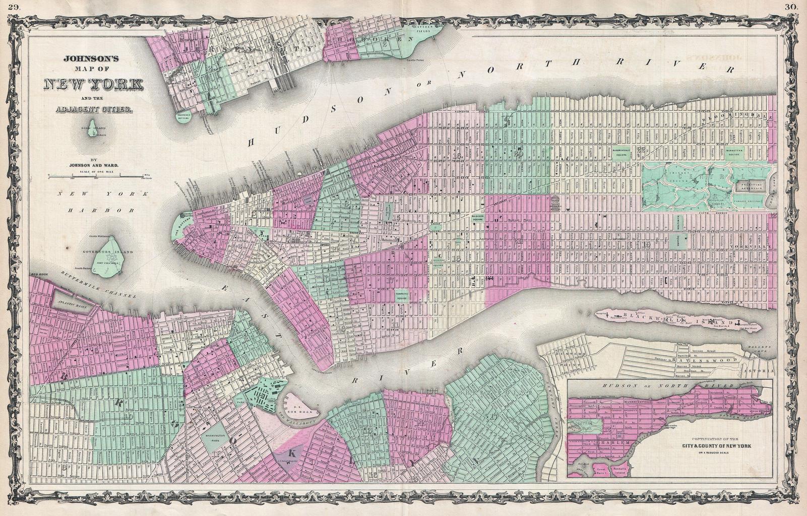
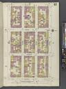
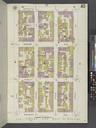
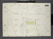
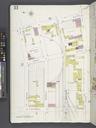
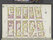
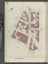
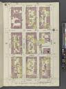
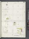
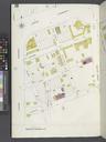
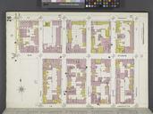
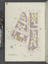
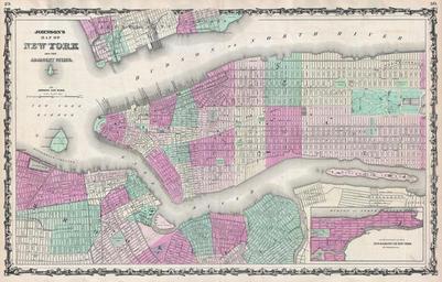
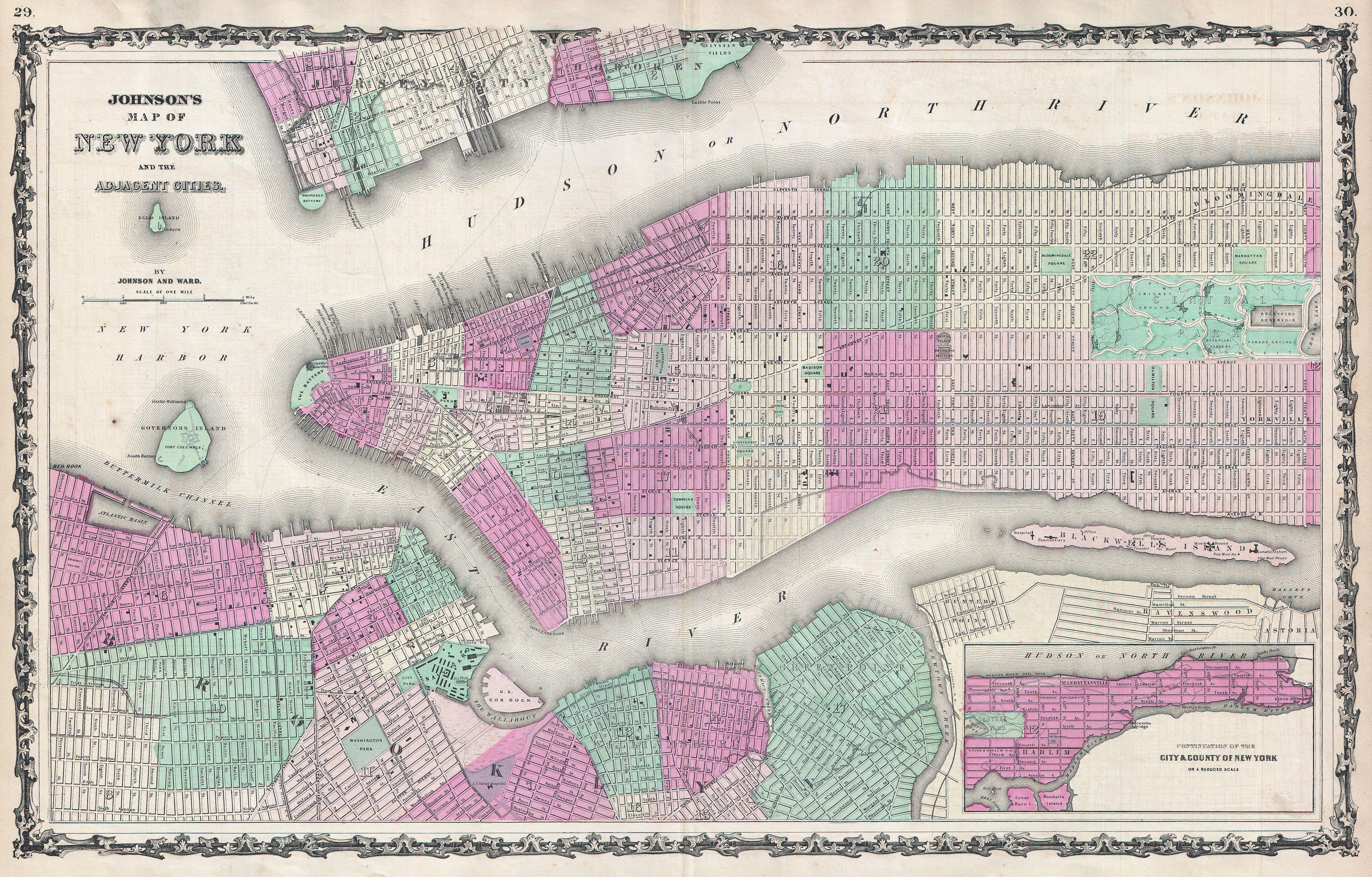
Johnson Map of New York City and Brooklyn Geographicus NYCjohnson. fine hand colored map of New York City and Brooklyn dating to This map represents the first state of the Johnson and Ward map of New York City Prior editions of the Johnson atlas including the Johnson and Browning editions did not contain New York City plan