
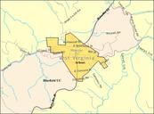
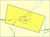
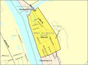
Related Images


Download:
| Tiny | 143x128 | View | Download |
| Small | 286x256 | View | Download |
| Medium | 573x512 | View | Download |
| Original png | 672x600 | View | Download |
| Original as jpg | 672x600 | View | Download |
This image was acquired from
wikimedia. It was marked as Public Domain or CC0 and is free to use. To verify, go to the source and check the information there.
Looking for more info about this image?
Try a Google Reverse Image Search for it.
Try a Google Reverse Image Search for it.
Keywords from Image Description:
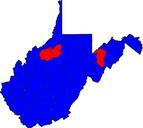
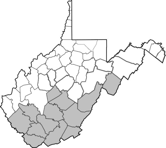
WVmap. en Map of West Virginia Counties held by the Confederate States government in Feb own Dubyavee Information from the Congressional Globe th Congress rd Session Senate Bill bill supplemental to the act entitled 'An act for the Admission of the State of 'West Virginia' into the Union and for other purposes' which would include