
Related Images
Download:
| Tiny | 128x128 | View | Download |
| Small | 257x256 | View | Download |
| Medium | 514x512 | View | Download |
| Original | 578x575 | View | Download |
This image was acquired from
wikimedia. It was marked as Public Domain or CC0 and is free to use. To verify, go to the source and check the information there.
Looking for more info about this image?
Try a Google Reverse Image Search for it.
Try a Google Reverse Image Search for it.
Keywords from Image Description:
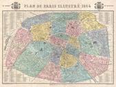
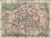
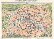
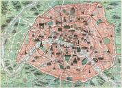
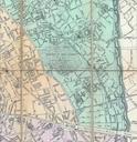
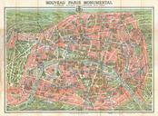
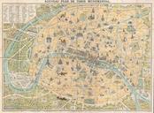
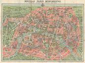
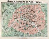
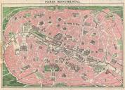
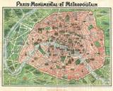
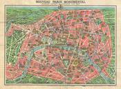
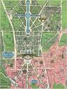
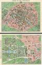
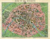
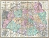
Garnier Map of Pairs France wMonuments Geographicus Parisgarnier cropped. An extremely attractive map of Paris France issued in by the Garnier Freres Covers the old walled city of Paris and the immediate vicinity Important buildings are shown in profile All major streets are identified Color coded according to arrondissements