
Related Images


Download:
| Tiny | 91x128 | View | Download |
| Small | 183x256 | View | Download |
| Medium | 367x512 | View | Download |
| Large | 735x1024 | View | Download |
| Original | 3592x5000 | View | Download |
This image was acquired from
wikimedia. It was marked as Public Domain or CC0 and is free to use. To verify, go to the source and check the information there.
Looking for more info about this image?
Try a Google Reverse Image Search for it.
Try a Google Reverse Image Search for it.
Keywords from Image Description:
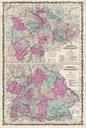
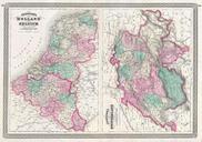
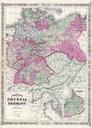
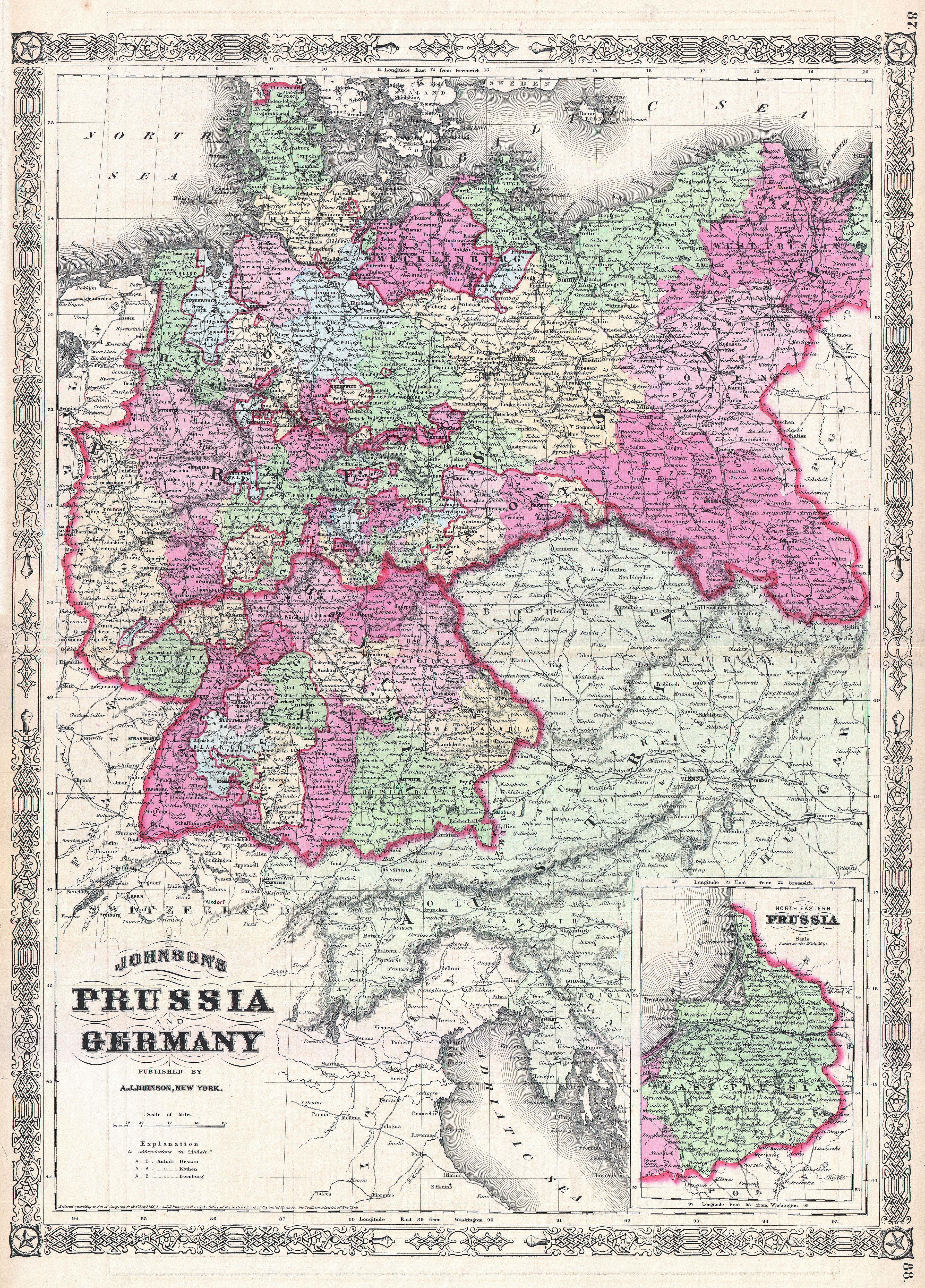
Johnson Map of Prussia and Germany Geographicus Germanyjohnson. This is Johnson and Ward map of Prussia and Germany Covers the region in considerable detail with color coding according to districts Also includes much of Austria An inset in the lower left quadrant details northeastern Prussia or Konigsberg Depicting the large and