Related Images


Download:
| Tiny | 189x128 | View | Download |
| Small | 378x256 | View | Download |
| Medium | 757x512 | View | Download |
| Large | 1514x1024 | View | Download |
| Original | 4000x2704 | View | Download |
This image was acquired from
wikimedia. It was marked as Public Domain or CC0 and is free to use. To verify, go to the source and check the information there.
Looking for more info about this image?
Try a Google Reverse Image Search for it.
Try a Google Reverse Image Search for it.
Keywords from Image Description:
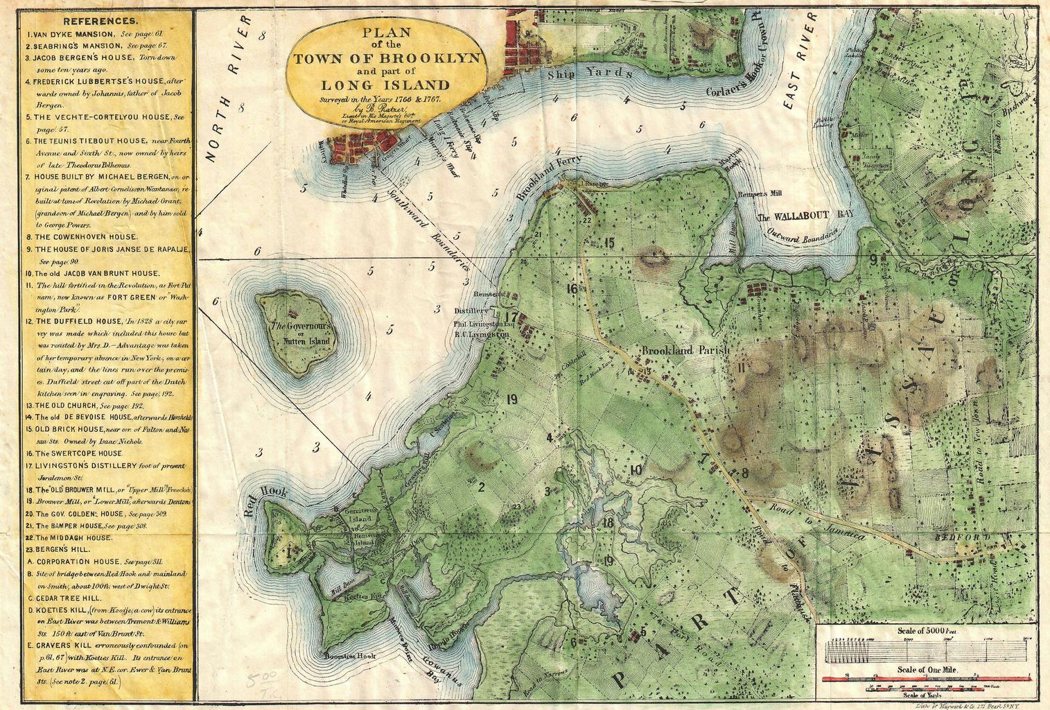
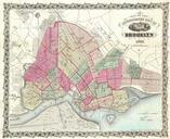
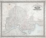
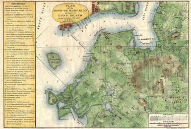
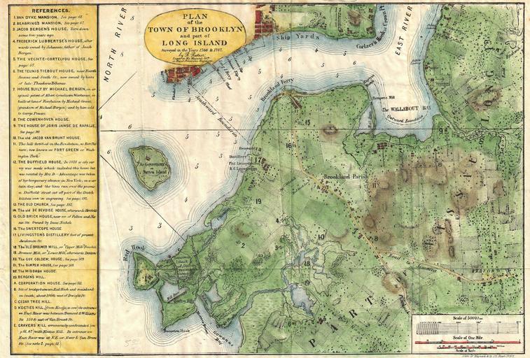
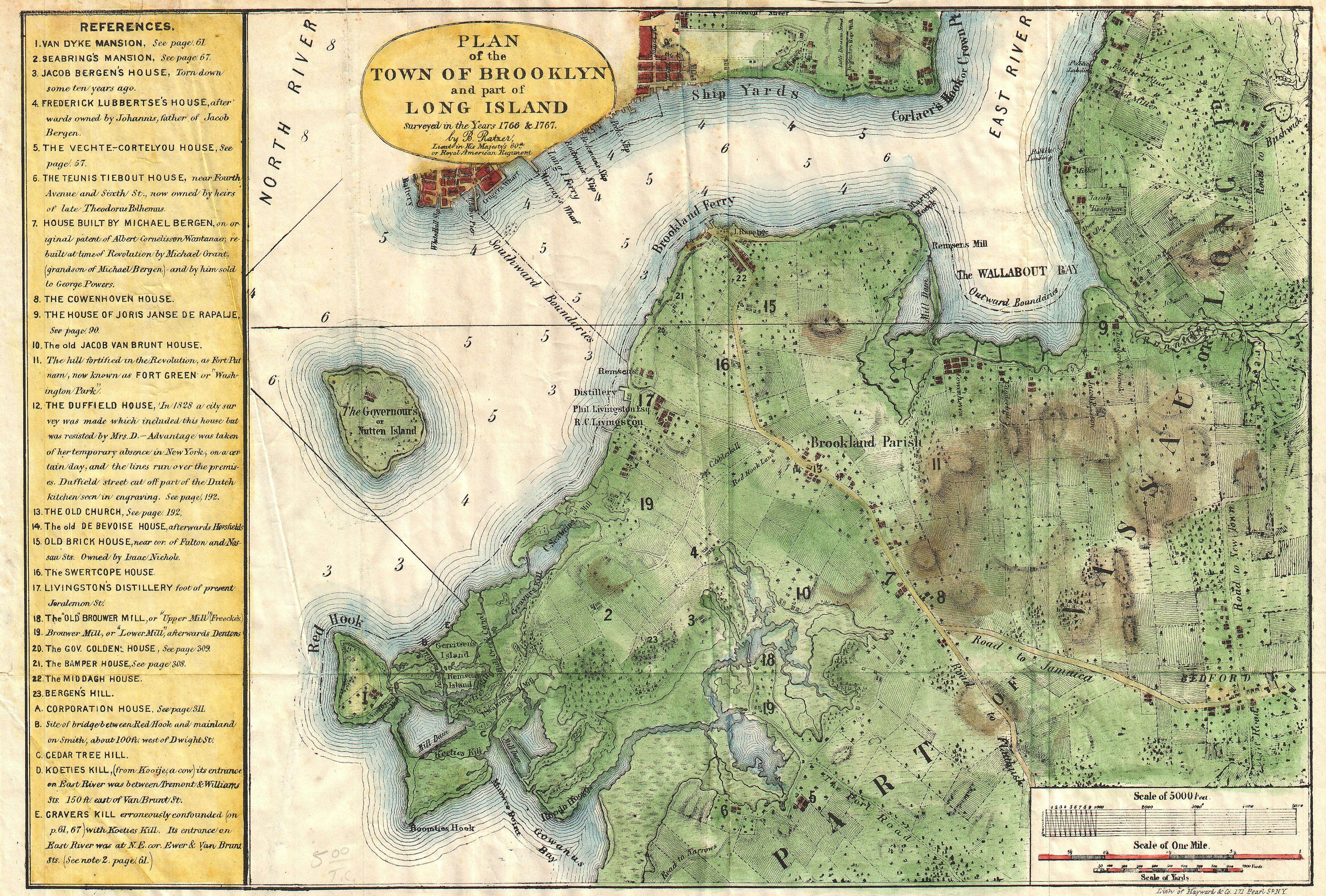
Stiles Map of Brooklyn New York Geographicus BrooklynTwnstiles. rare and very attractive plan of Brooklyn New York drawn in by Samuel Edward Stiles Designed for Stiles important History of Brooklyn this map is based upon surveys of Brooklyn originally taken in and by Bernard Ratzer en Includes much of modern Brooklyn including