Download:
| Tiny | 112x128 | View | Download |
| Small | 224x256 | View | Download |
| Original svg | 263x300 | View | Download |
| Original as jpg | 263x300 | View | Download |
This image was acquired from
wikimedia. It was marked as Public Domain or CC0 and is free to use. To verify, go to the source and check the information there.
Looking for more info about this image?
Try a Google Reverse Image Search for it.
Try a Google Reverse Image Search for it.
Keywords from Image Description:
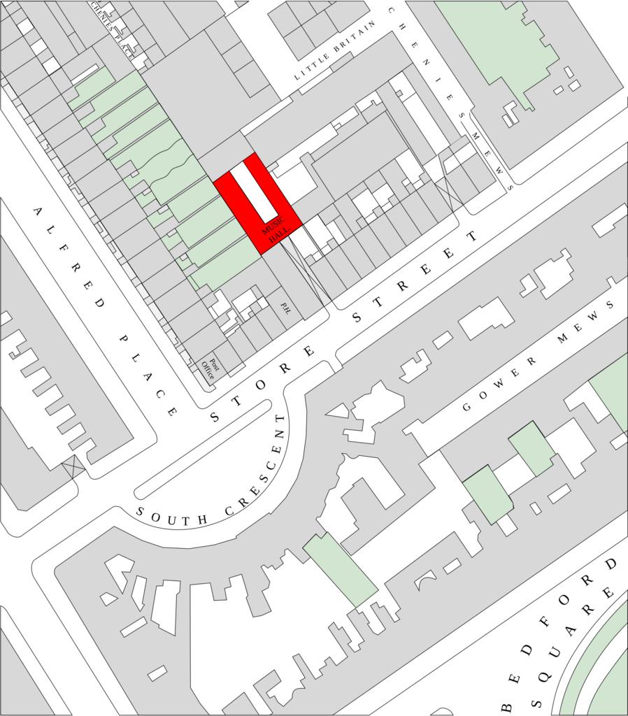
ordnancesurvey storestreet.svg en The map is based on the large scale Ordnance Survey maps of the city of London published starting in It has been edited and colorized and the text Music Hall added and the building marked in red The original map shows boundaries clearly but the buildings are unnumbered The location of the hall is
