Download:
| Tiny | 197x128 | View | Download |
| Small | 394x256 | View | Download |
| Medium | 788x512 | View | Download |
| Original png | 1513x983 | View | Download |
| Original as jpg | 1513x983 | View | Download |
This image was acquired from
wikimedia. It was marked as Public Domain or CC0 and is free to use. To verify, go to the source and check the information there.
Looking for more info about this image?
Try a Google Reverse Image Search for it.
Try a Google Reverse Image Search for it.
Keywords from Image Description:
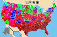
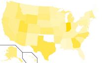
Presidential Election Map. en Map showing the results by county of the United States presidential election specifically identifying the percentage received by the winning candidate in each county Tied counties or counties with no information are in grey Own work by uploader data coloring and inspiration from org Rarohla presidential


