
Related Images


Download:
| Tiny | 103x128 | View | Download |
| Small | 206x256 | View | Download |
| Medium | 412x512 | View | Download |
| Large | 825x1024 | View | Download |
| Original | 6574x8158 | View | Download |
This image was acquired from
wikimedia. It was marked as Public Domain or CC0 and is free to use. To verify, go to the source and check the information there.
Looking for more info about this image?
Try a Google Reverse Image Search for it.
Try a Google Reverse Image Search for it.
Keywords from Image Description:
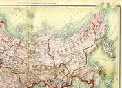
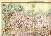
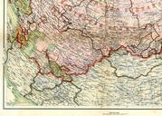
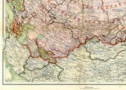
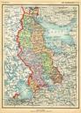
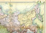
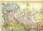
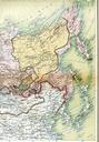
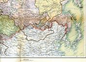
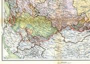
atlas of the Soviet Union merged. LargeImage en European USSR map in the Atlas of the USSR published in Original Photomerge of two separate scans Fred the Oyster thumb left px Northern half thumb left px Southern half PDold PDRUexempt Uploaded with Old maps of USSR Images created by Fred the Oyster Maps of subdivisions