Related Images


Download:
| Tiny | 136x128 | View | Download |
| Small | 272x256 | View | Download |
| Original png | 361x339 | View | Download |
| Original as jpg | 361x339 | View | Download |
This image was acquired from
wikimedia. It was marked as Public Domain or CC0 and is free to use. To verify, go to the source and check the information there.
Looking for more info about this image?
Try a Google Reverse Image Search for it.
Try a Google Reverse Image Search for it.
Keywords from Image Description:
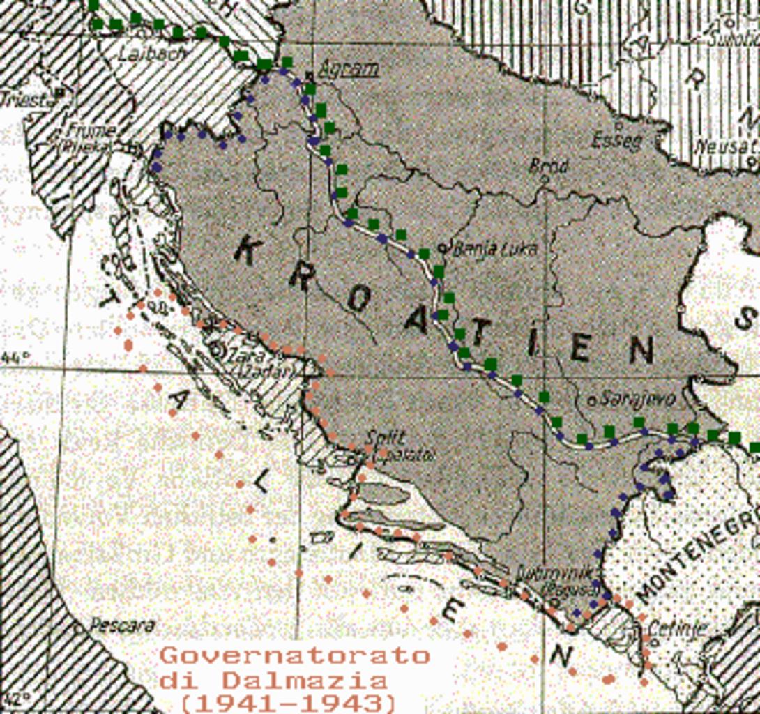
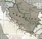
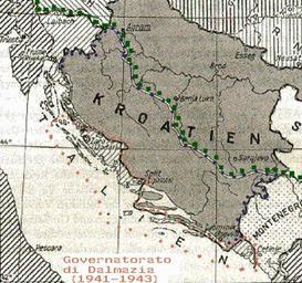
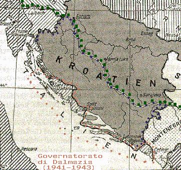
governatoratodalmazia. Map of the Governatorato di Dalmazia showing within orange points the borders Within blue points are the limits of the area of fascist Croatia occupied by the Italian Army and proposed by Mussolini in to be annexed to the Governatorato di Dalmazia The green points show the limits of the italian control between