Related Images


Download:
| Tiny | 94x128 | View | Download |
| Small | 189x256 | View | Download |
| Medium | 379x512 | View | Download |
| Large | 758x1024 | View | Download |
| Original png | 784x1059 | View | Download |
| Original as jpg | 784x1059 | View | Download |
This image was acquired from
wikimedia. It was marked as Public Domain or CC0 and is free to use. To verify, go to the source and check the information there.
Looking for more info about this image?
Try a Google Reverse Image Search for it.
Try a Google Reverse Image Search for it.
Keywords from Image Description:
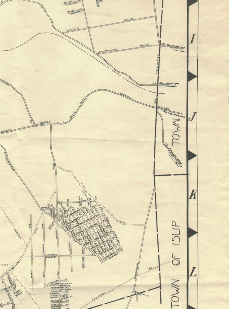
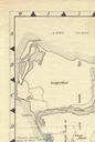
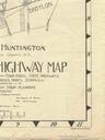
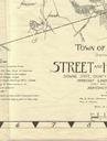
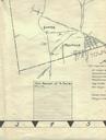
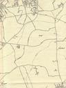
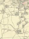
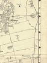
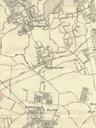
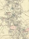
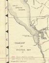
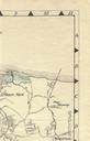
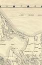
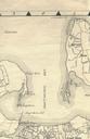
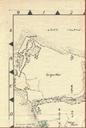
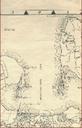
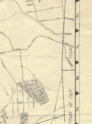
Huntington Map sect. This is smaller section of this Town of Huntington Planning Map Town of Huntington have received permission to share this map as Public Domain by officials of the Town of Huntington Huntington Planning Map Files in need of sources