
Related Images


Download:
| Tiny | 141x128 | View | Download |
| Small | 283x256 | View | Download |
| Medium | 567x512 | View | Download |
| Original | 800x722 | View | Download |
This image was acquired from
wikimedia. It was marked as Public Domain or CC0 and is free to use. To verify, go to the source and check the information there.
Looking for more info about this image?
Try a Google Reverse Image Search for it.
Try a Google Reverse Image Search for it.
Keywords from Image Description:
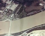
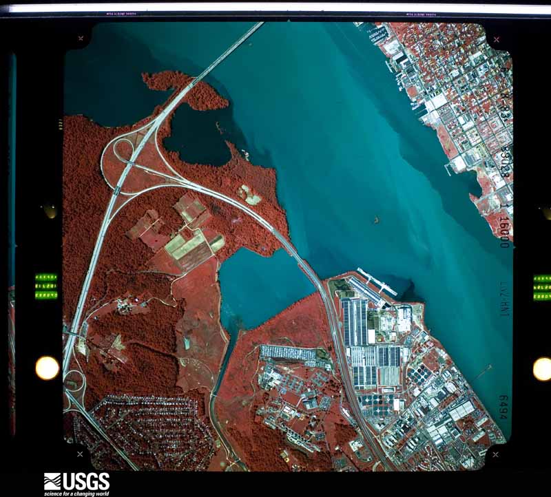
aerial photograph of the Potomac River in the District of Columbia and Alexandria Virginia showing Oxon Cove and Woodrow Wilson Bridge. en Aerial photograph of Potomac River at Oxon Cove District of Columbia USA USGS Entity ID ARL Photo ID US Geological Survey US Geological Survey other versions PDUSGov Uploaded with Fullframe