
Related Images


Download:
| Tiny | 117x128 | View | Download |
| Small | 235x256 | View | Download |
| Medium | 470x512 | View | Download |
| Large | 941x1024 | View | Download |
| Original svg | 3675x3995 | View | Download |
| Original as jpg | 3675x3995 | View | Download |
This image was acquired from
wikimedia. It was marked as Public Domain or CC0 and is free to use. To verify, go to the source and check the information there.
Looking for more info about this image?
Try a Google Reverse Image Search for it.
Try a Google Reverse Image Search for it.
Keywords from Image Description:
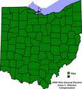
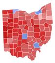
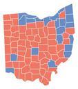
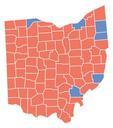
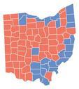
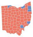
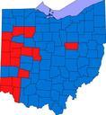
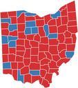
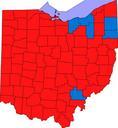
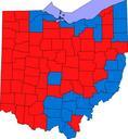
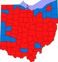
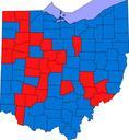
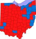
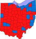
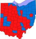
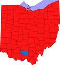
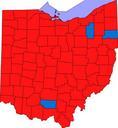
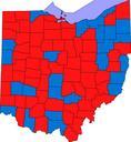
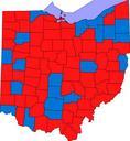
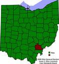
Ohio General Election Issue .svg This is locator map showing Stark County in Ohio David Benbennick made this map For more information see Commons United States county locator maps On November Ohioans went to the polls to cast their vote on three referendums as well as many local issues and candidates This map shows countybycounty