
Related Images


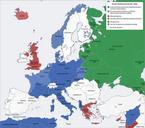
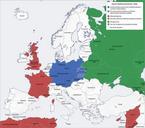
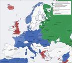
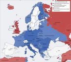
This image was acquired from
wikimedia. It was marked as Public Domain or CC0 and is free to use. To verify, go to the source and check the information there.
Looking for more info about this image?
Try a Google Reverse Image Search for it.
Try a Google Reverse Image Search for it.
Keywords from Image Description:
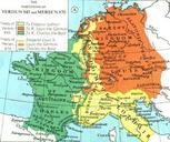
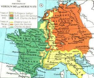
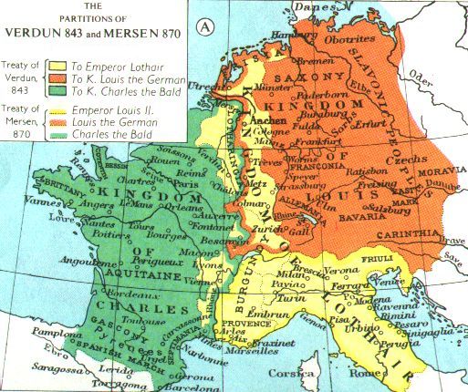
Europe. old map The Division of the Carolingian Empire Verdun and Mersen Col Adapted from Muir's Historical Atlas br fordham edu File from Fordham University fordham edu html Internet Medieval Sourcebook PDold Maps of European history Old maps of the history of France Old maps of Italy Maps showing history of the Early