Related Images

Download:
| Tiny | 96x128 | View | Download |
| Small | 192x256 | View | Download |
| Medium | 384x512 | View | Download |
| Large | 768x1024 | View | Download |
| Original tiff | 5428x7230 | View | Download |
| Original as jpg | 5428x7230 | View | Download |
This image was acquired from
wikimedia. It was marked as Public Domain or CC0 and is free to use. To verify, go to the source and check the information there.
Looking for more info about this image?
Try a Google Reverse Image Search for it.
Try a Google Reverse Image Search for it.
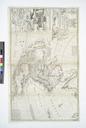
Keywords from Image Description:
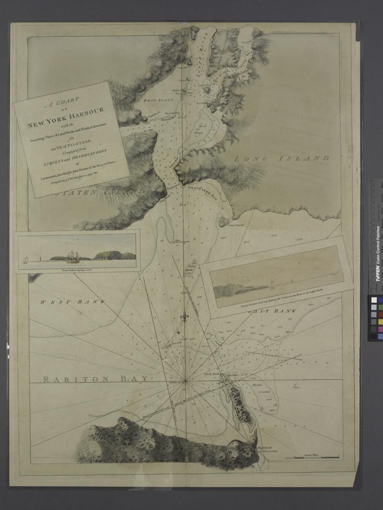
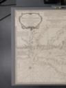
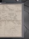
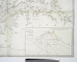
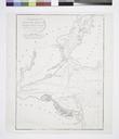
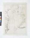
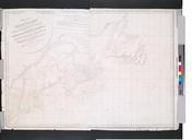
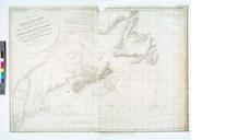
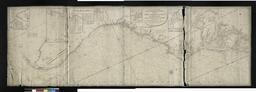
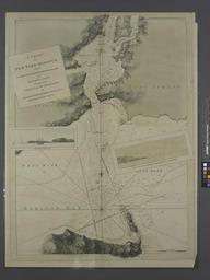
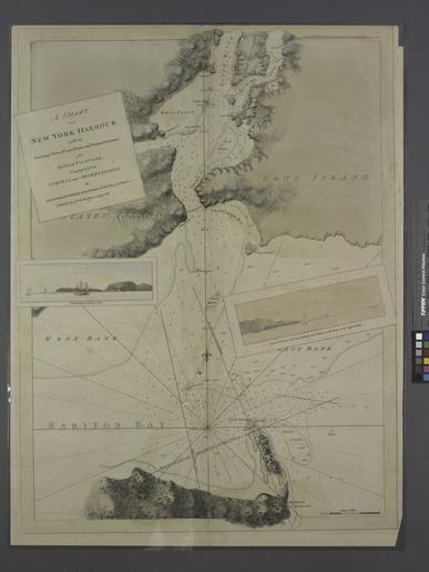
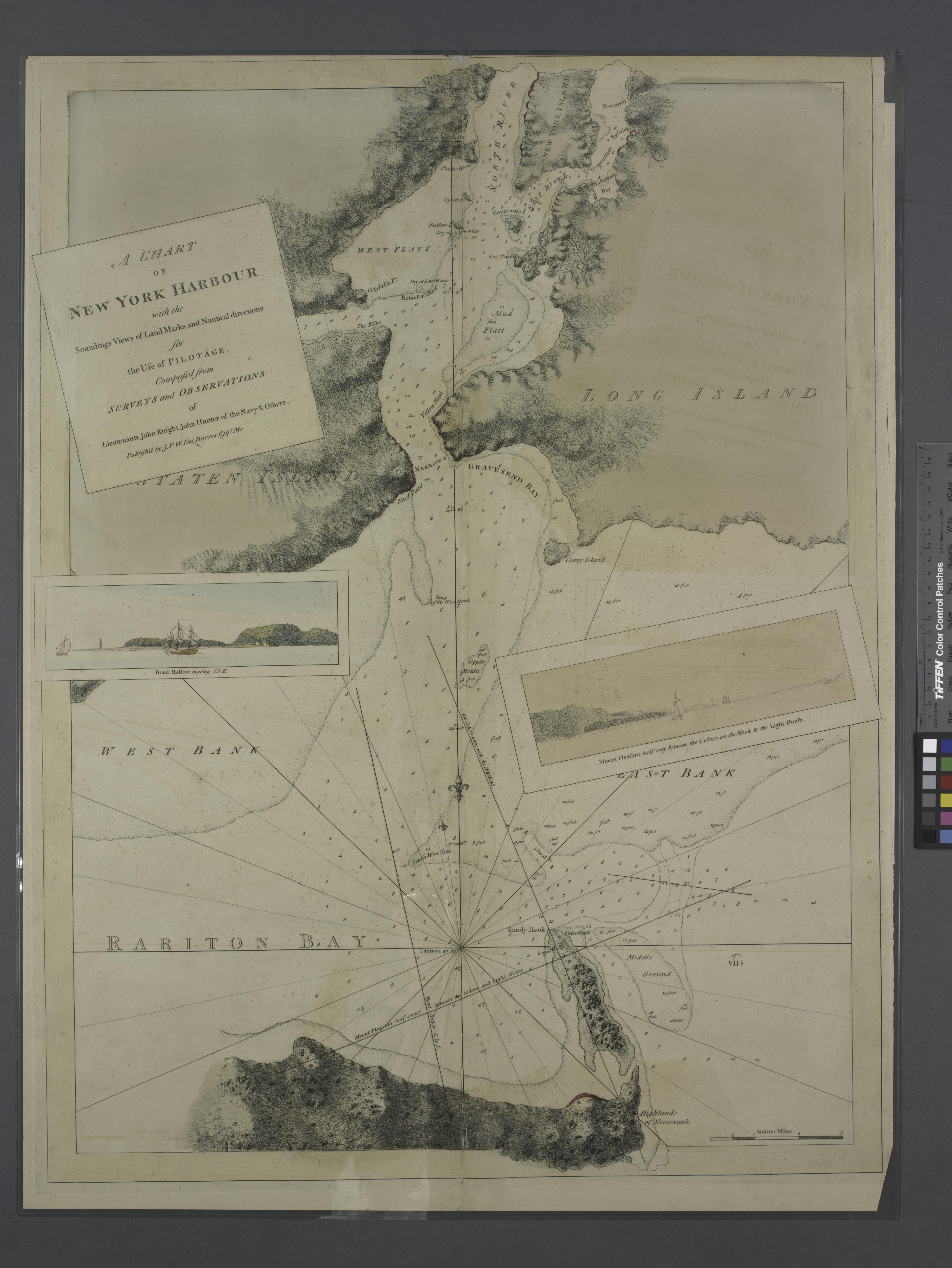
A chart of New York Harbour with the soundings views of land marks and nautical directions for the use of pilotage composed from surveys and observations of lieutenants John Knight John Hunter NYPL. Maps of New York City and State New York City New York harbor chart of New York Harbour with the soundings views of land marks and