
Related Images


Download:
| Tiny | 304x128 | View | Download |
| Small | 609x256 | View | Download |
| Medium | 1219x512 | View | Download |
| Large | 2438x1024 | View | Download |
| Original | 6021x2528 | View | Download |
This image was acquired from
wikimedia. It was marked as Public Domain or CC0 and is free to use. To verify, go to the source and check the information there.
Looking for more info about this image?
Try a Google Reverse Image Search for it.
Try a Google Reverse Image Search for it.
Keywords from Image Description:
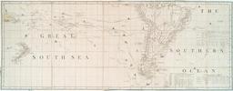
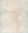
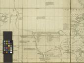
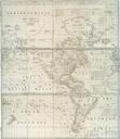
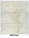
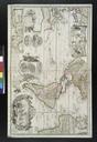
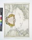
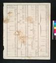
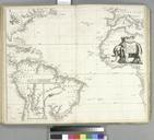
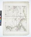
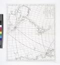
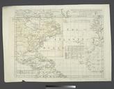
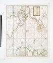
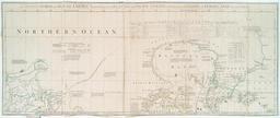
A chart of North and South America including the Atlantic and Pacific Oceans with the nearest coasts of Europe Africa and Asia NYPL b. en Prime meridian London and Ferro Relief shown pictorially Shows nautical exploration routes According to act of Parliament Includes text historical and geographical notes and tables of comparative