Related Images


Download:
| Tiny | 141x128 | View | Download |
| Small | 282x256 | View | Download |
| Medium | 565x512 | View | Download |
| Large | 1131x1024 | View | Download |
| Original tiff | 4732x4283 | View | Download |
| Original as jpg | 4732x4283 | View | Download |
This image was acquired from
wikimedia. It was marked as Public Domain or CC0 and is free to use. To verify, go to the source and check the information there.
Looking for more info about this image?
Try a Google Reverse Image Search for it.
Try a Google Reverse Image Search for it.
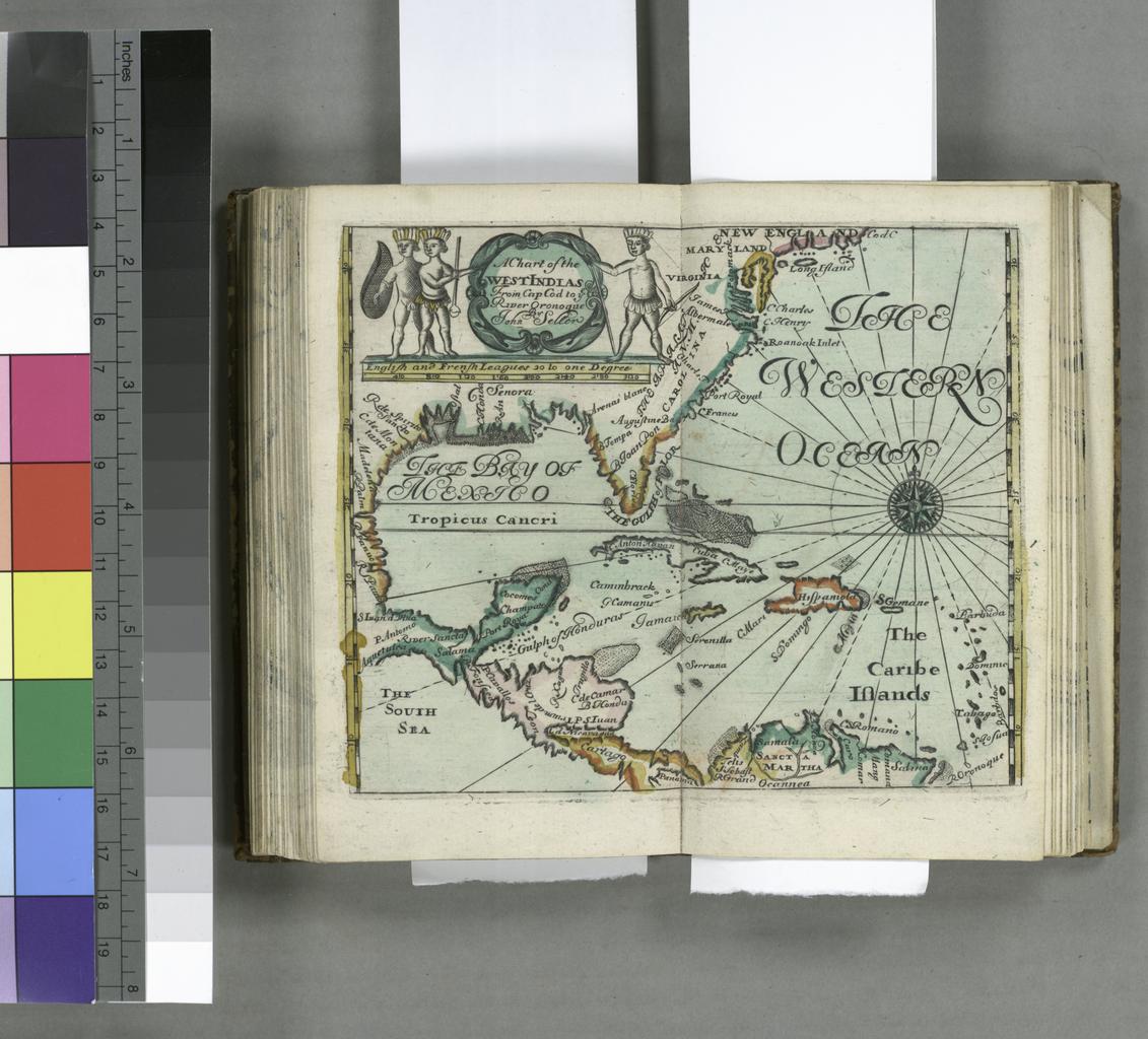
Keywords from Image Description:
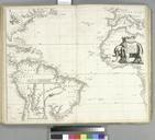
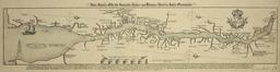
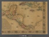
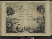
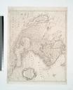
A chart of the West Indias from Cap Cod to ye River Oronoque NYPL b. en National Endowment for the Humanities Grant for Access to Early Maps of the Middle Atlantic Seaboard Added illustrated engraved hand col Frontispiece engraved hand col includes advertisement Lawrence Slaughter Collection Relief in selected areas shown pictorially