
Related Images
Download:
| Tiny | 158x128 | View | Download |
| Small | 317x256 | View | Download |
| Medium | 634x512 | View | Download |
| Large | 1269x1024 | View | Download |
| Original tiff | 5168x4170 | View | Download |
| Original as jpg | 5168x4170 | View | Download |
This image was acquired from
wikimedia. It was marked as Public Domain or CC0 and is free to use. To verify, go to the source and check the information there.
Looking for more info about this image?
Try a Google Reverse Image Search for it.
Try a Google Reverse Image Search for it.
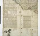
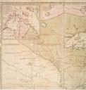
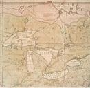
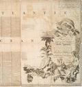
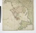
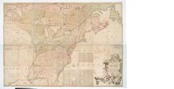
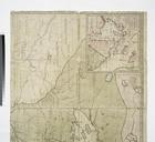
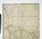
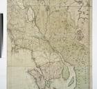
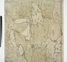
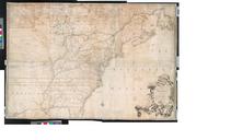
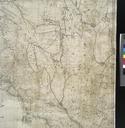
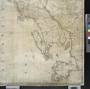
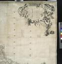
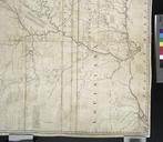
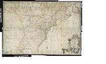
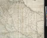
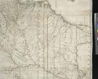
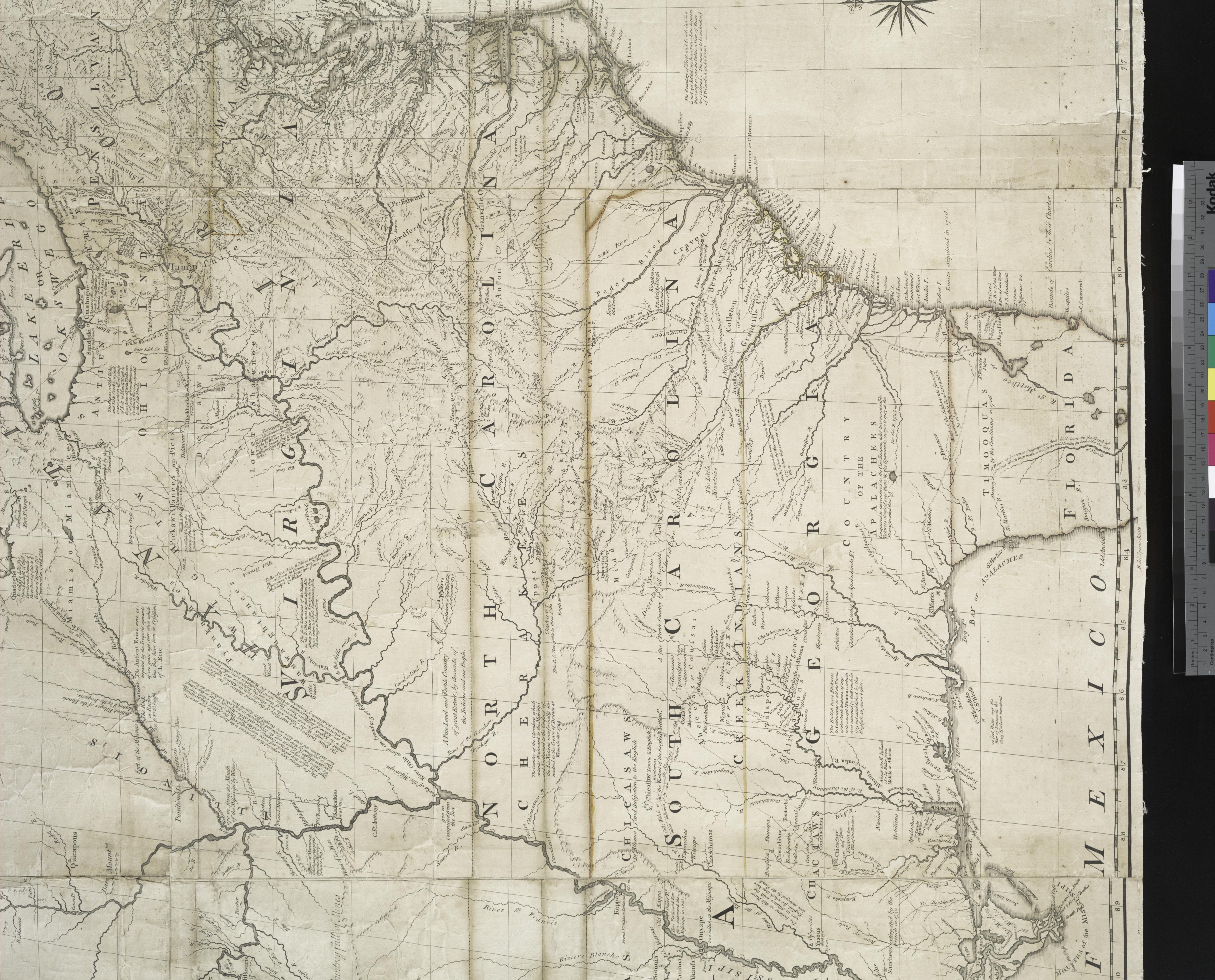
Keywords from Image Description:
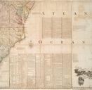
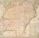
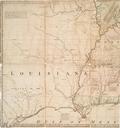
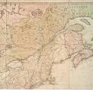
A map of the British and French dominions in North America with the roads distances limits and extent of the settlements humbly inscribed to the Right Honourable the Earl of Halifax and the NYPL b. en Citation Ristow la carte Relief shown pictorially Third impression of st ed shows Worcester Mass as distinguished from previous