Related Images


Download:
| Tiny | 129x128 | View | Download |
| Small | 258x256 | View | Download |
| Medium | 517x512 | View | Download |
| Large | 1034x1024 | View | Download |
| Original | 3254x3220 | View | Download |
This image was acquired from
wikimedia. It was marked as Public Domain or CC0 and is free to use. To verify, go to the source and check the information there.
Looking for more info about this image?
Try a Google Reverse Image Search for it.
Try a Google Reverse Image Search for it.
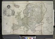
Keywords from Image Description:
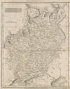
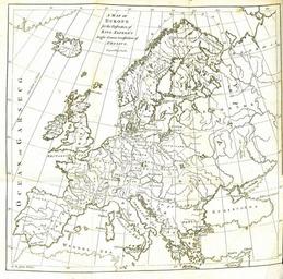
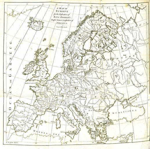
A Map of Europe for the Illustration of King Alfred's AngloSaxon translation of Orosius. Engraved by J. Bayly. of the map Barrington op cit google id aTJAAAAQAAJ pg PR xxiv have therefore annexed map which contains the names of most of the Europan places mentioned in this geographical chapter and have also traced the voyage of Ohthere