
Related Images


Download:
| Tiny | 96x128 | View | Download |
| Small | 192x256 | View | Download |
| Medium | 384x512 | View | Download |
| Large | 769x1024 | View | Download |
| Original tiff | 7760x10328 | View | Download |
| Original as jpg | 7760x10328 | View | Download |
This image was acquired from
wikimedia. It was marked as Public Domain or CC0 and is free to use. To verify, go to the source and check the information there.
Looking for more info about this image?
Try a Google Reverse Image Search for it.
Try a Google Reverse Image Search for it.
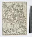
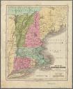
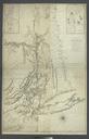
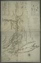
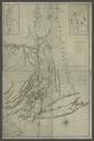
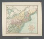
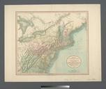
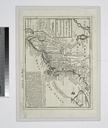
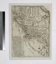
Keywords from Image Description:
A map of the New England states NYPL b. en Relief shown by hachures Inset Northern eastern part of Maine and part of Lower Canada and New Brunswick With corrections in cm Mapping the Nation NEH grant nypl org Scan by NYPL map of the New England states Railroads Nathan Hale daffeac Maps of North America bbcaeac repo nypl