Related Images


Download:
| Tiny | 89x128 | View | Download |
| Small | 179x256 | View | Download |
| Medium | 359x512 | View | Download |
| Large | 718x1024 | View | Download |
| Original | 3904x5563 | View | Download |
This image was acquired from
wikimedia. It was marked as Public Domain or CC0 and is free to use. To verify, go to the source and check the information there.
Looking for more info about this image?
Try a Google Reverse Image Search for it.
Try a Google Reverse Image Search for it.
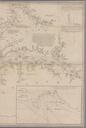
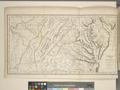
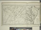
Keywords from Image Description:
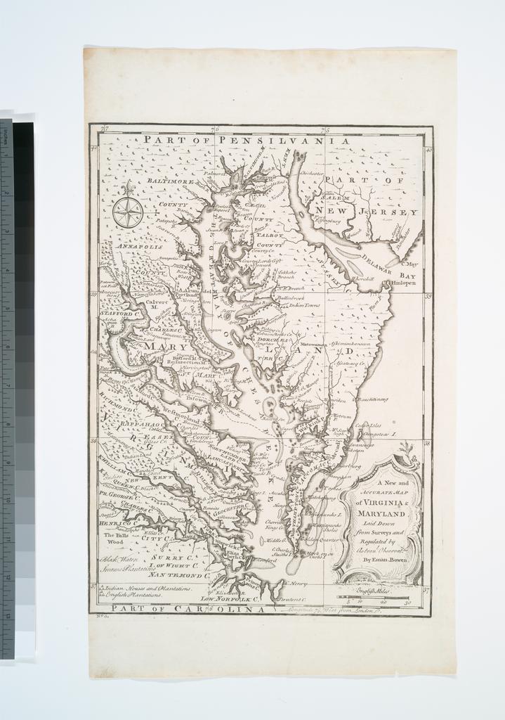
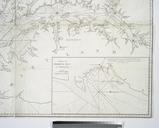
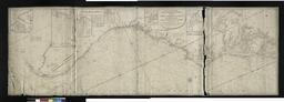
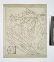
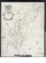
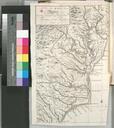
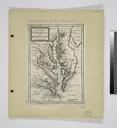
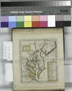
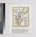
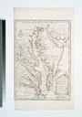
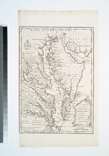
A new and accurate map of Virginia Maryland NYPL b. en Prime meridian London Citation Phillips Maps of America At lower left corner No From the author's Complete atlas or distinct view of the known world Lawrence Slaughter Collection National Endowment for the Humanities Grant for Access to Early Maps of the Middle Atlantic Seaboard