Related Images


Download:
| Tiny | 108x128 | View | Download |
| Small | 216x256 | View | Download |
| Medium | 433x512 | View | Download |
| Large | 867x1024 | View | Download |
| Original | 4488x5299 | View | Download |
This image was acquired from
wikimedia. It was marked as Public Domain or CC0 and is free to use. To verify, go to the source and check the information there.
Looking for more info about this image?
Try a Google Reverse Image Search for it.
Try a Google Reverse Image Search for it.
Keywords from Image Description:
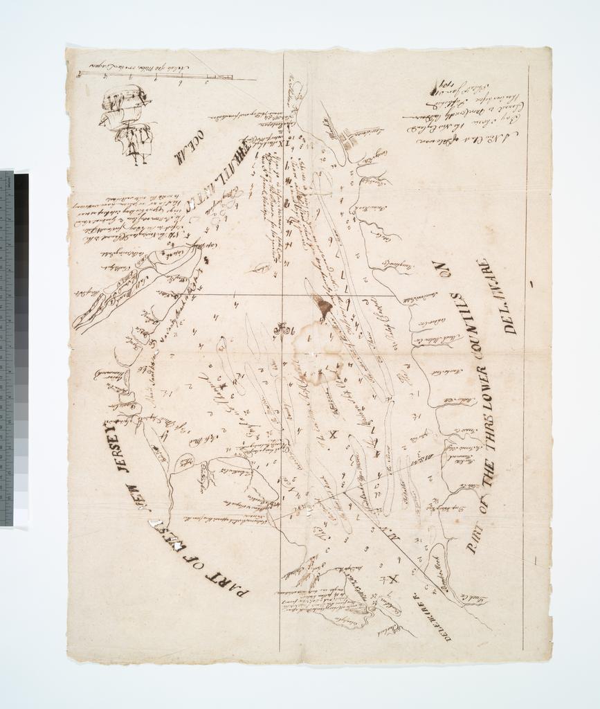
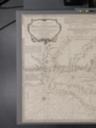
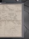
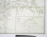
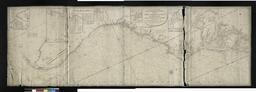
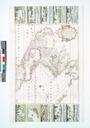
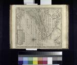
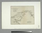
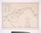
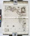
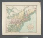
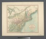
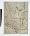
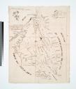
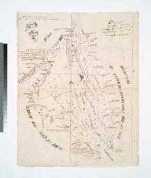
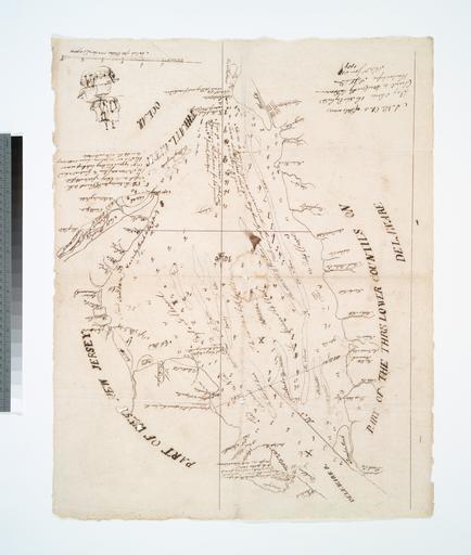
A New chart of Delaware Bay wherein the New England Channel is more correctly laid down than ever before NYPL b. en National Endowment for the Humanities Grant for Access to Early Maps of the Middle Atlantic Seaboard Published Philadelphia Jan Depths shown by soundings In ink Includes ill Lawrence Slaughter Collection nypl