
Related Images

Download:
| Tiny | 87x128 | View | Download |
| Small | 175x256 | View | Download |
| Medium | 351x512 | View | Download |
| Large | 703x1024 | View | Download |
| Original | 4328x6299 | View | Download |
This image was acquired from
wikimedia. It was marked as Public Domain or CC0 and is free to use. To verify, go to the source and check the information there.
Looking for more info about this image?
Try a Google Reverse Image Search for it.
Try a Google Reverse Image Search for it.
Keywords from Image Description:
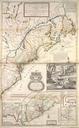
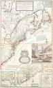
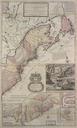
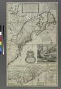
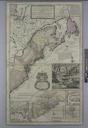
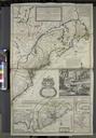
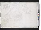
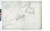
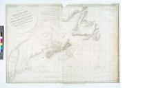
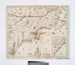
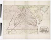
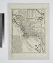
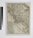
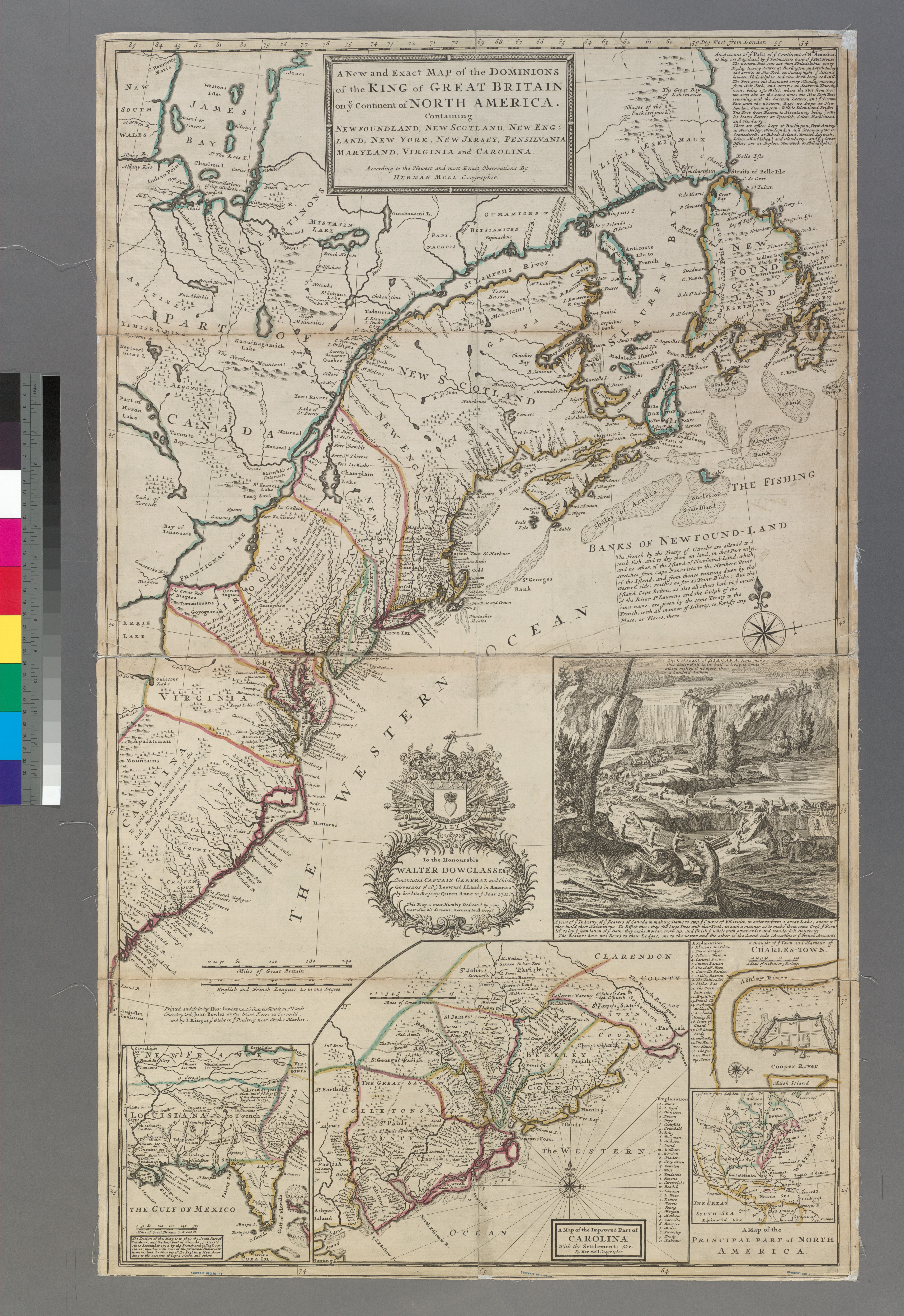
A new and exact map of the dominions of the King of Great Britain on ye continent of North America containing Newfoundland New Scotland New England New York New Jersey Pensilvania NYPL b. en Includes descriptive text To the honourable Walter Dowglass Esqr constituted Captain General and Chief Governor of all ye Leeward Islands in