Related Images


Download:
| Tiny | 90x128 | View | Download |
| Small | 180x256 | View | Download |
| Medium | 361x512 | View | Download |
| Large | 722x1024 | View | Download |
| Original tiff | 5100x7230 | View | Download |
| Original as jpg | 5100x7230 | View | Download |
This image was acquired from
wikimedia. It was marked as Public Domain or CC0 and is free to use. To verify, go to the source and check the information there.
Looking for more info about this image?
Try a Google Reverse Image Search for it.
Try a Google Reverse Image Search for it.
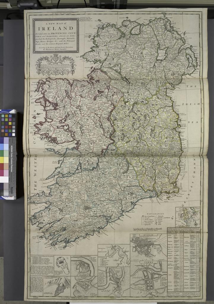
Keywords from Image Description:
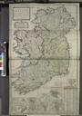
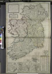
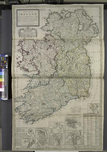
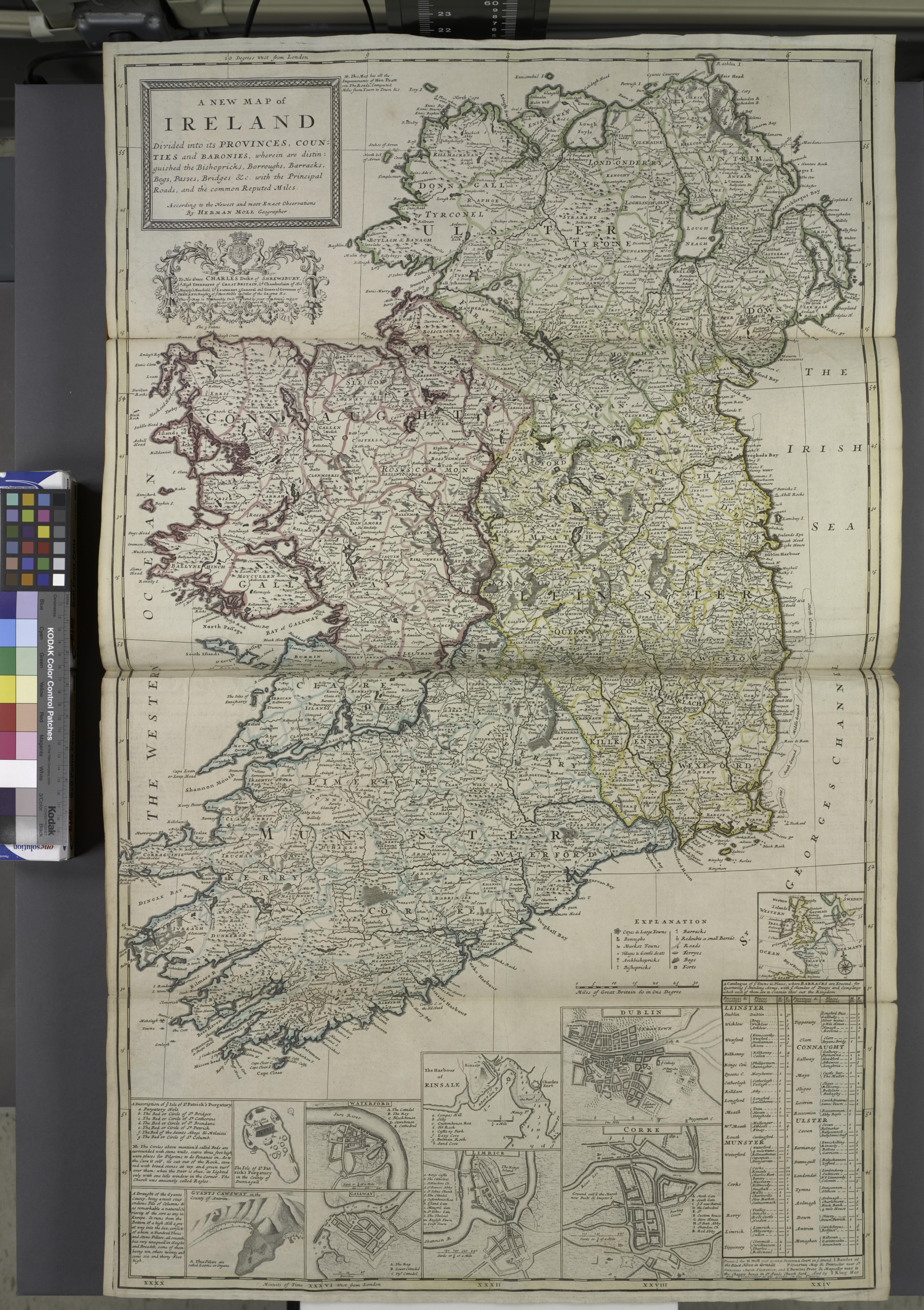
A new map of Ireland divided into its provinces counties and baronies wherein are distinguished the bishopricks borroughs barracks bogs passes bridges etc with the principal roads and the NYPL. new map of Ireland divided into its provinces counties and baronies wherein are distinguished the bishopricks borroughs barracks bogs passes