Related Images


Download:
| Tiny | 122x128 | View | Download |
| Small | 244x256 | View | Download |
| Medium | 488x512 | View | Download |
| Large | 977x1024 | View | Download |
| Original tiff | 4648x4867 | View | Download |
| Original as jpg | 4648x4867 | View | Download |
This image was acquired from
wikimedia. It was marked as Public Domain or CC0 and is free to use. To verify, go to the source and check the information there.
Looking for more info about this image?
Try a Google Reverse Image Search for it.
Try a Google Reverse Image Search for it.
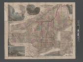
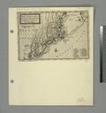
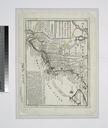
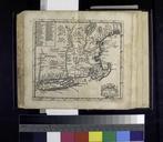
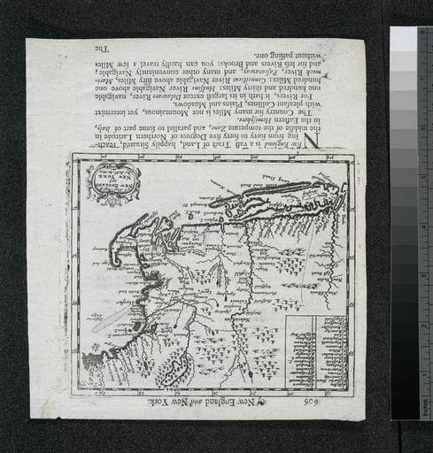
Keywords from Image Description:
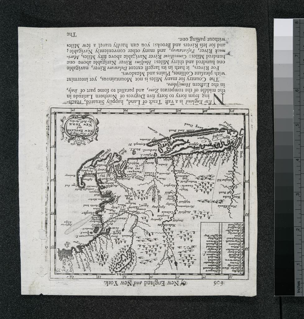
A new map of New England and New York NYPL b. of the world Lawrence Slaughter Collection National Endowment for the Humanities Grant for Access to Early Maps of the Middle Atlantic Seaboard Page number in upper left margin Possibly printed by Robert Roberts Relief shown pictorially Text on verso Within neatline Pag Citation