Related Images


Download:
| Tiny | 83x128 | View | Download |
| Small | 167x256 | View | Download |
| Medium | 335x512 | View | Download |
| Large | 671x1024 | View | Download |
| Original tiff | 3808x5803 | View | Download |
| Original as jpg | 3808x5803 | View | Download |
This image was acquired from
wikimedia. It was marked as Public Domain or CC0 and is free to use. To verify, go to the source and check the information there.
Looking for more info about this image?
Try a Google Reverse Image Search for it.
Try a Google Reverse Image Search for it.
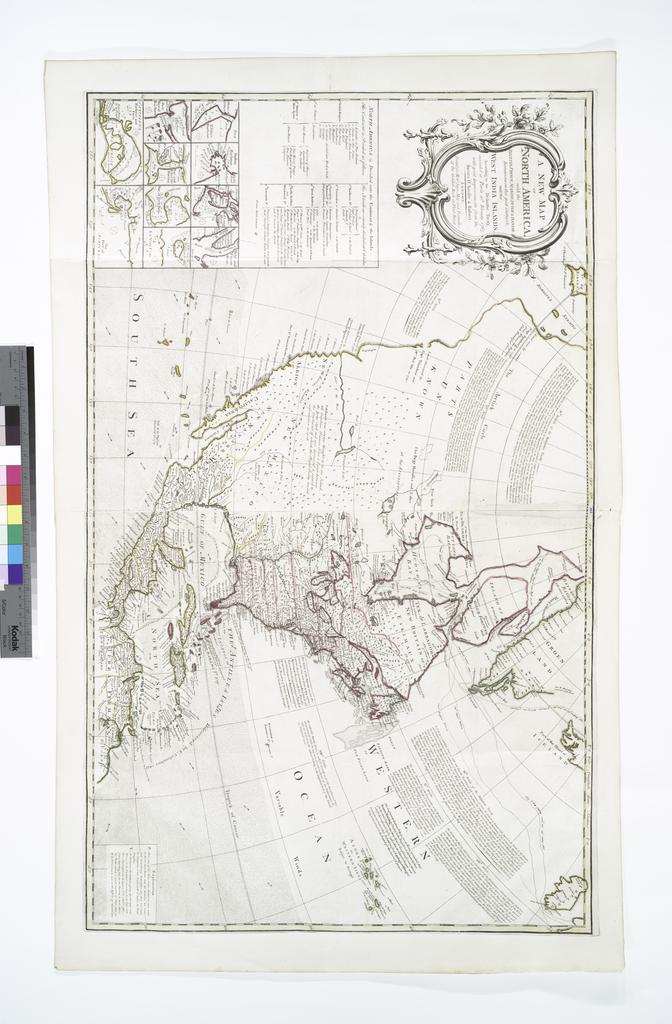
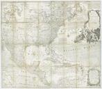
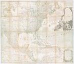
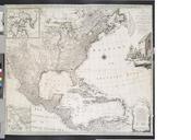
Keywords from Image Description:
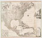
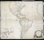
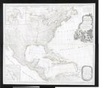
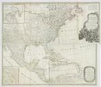
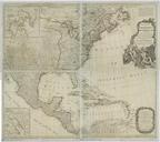
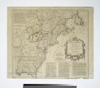
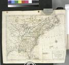
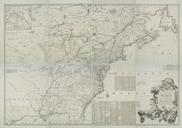
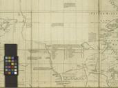
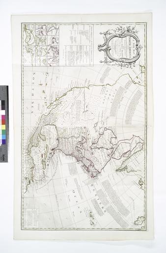
A new map of North America with the British French Spanish Dutch Danish dominions on that great continent and the West India Islands according to the definitive treaty concluded at Paris th NYPL. map hand col cm nypl org cfm imageID Includes historical notes treaty extracts prevailing wind directions insets of harbors and